Mount Woodrow Wilson, Bridger Wilderness
Map
Facts and practical information
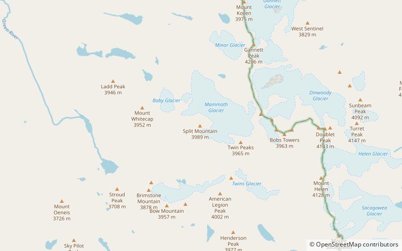
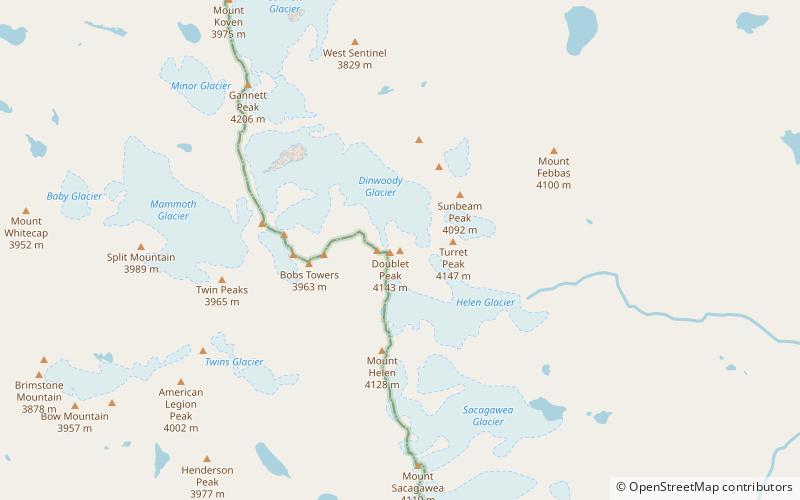
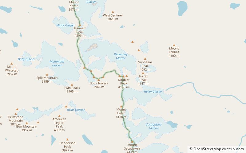
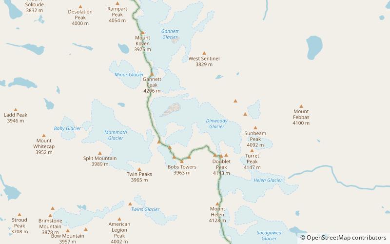
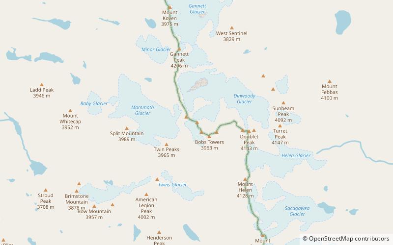
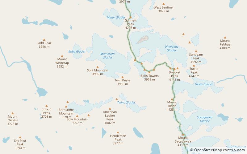
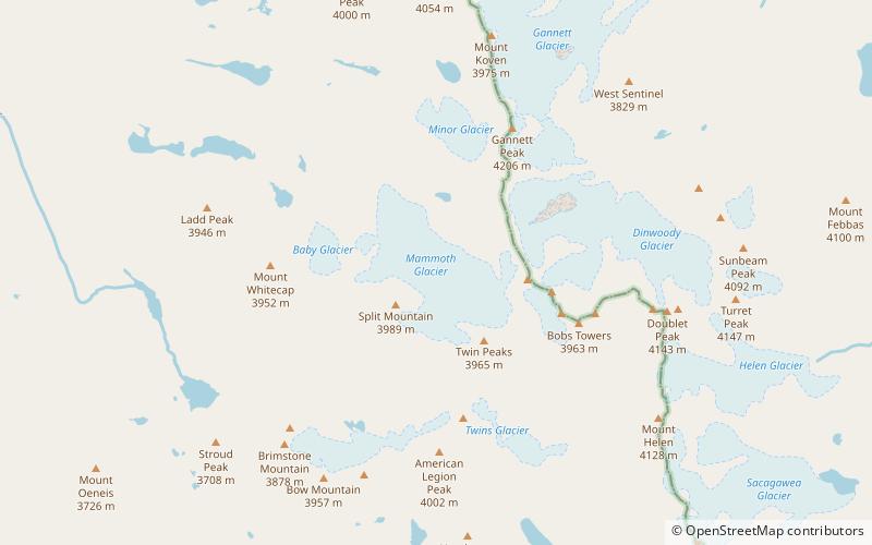
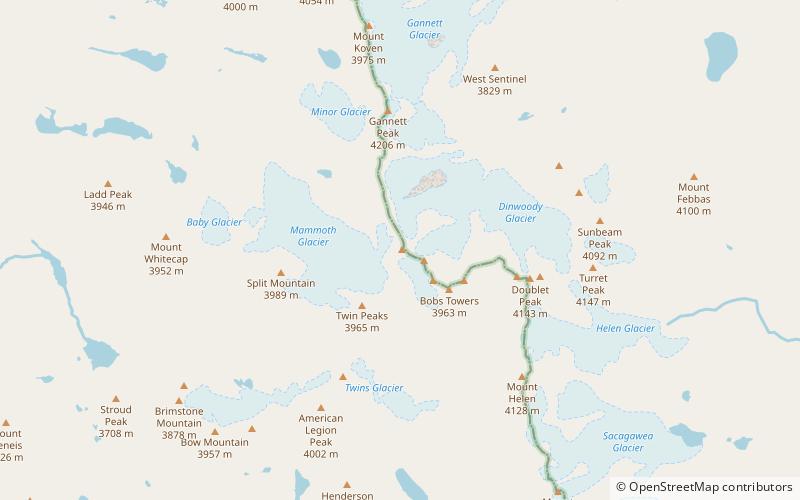
Mount Woodrow Wilson is located in the Wind River Range in the U.S. state of Wyoming. Mount Woodrow Wilson is the eighth-highest mountain in the range and the ninth-highest in Wyoming. The summit is located in the Bridger Wilderness of Bridger-Teton National Forest on the Continental Divide, 1.25 miles south of Gannett Peak. The flanks of the mountain are covered in snowfields and glaciers, including Dinwoody Glacier to the northeast, Mammoth Glacier to the west and Sphinx Glacier to the south. ()
First ascent: 1924Elevation: 13502 ftProminence: 502 ftCoordinates: 43°10'1"N, 109°39'7"W
Address
Bridger Wilderness
ContactAdd
Social media
Add
Day trips
Mount Woodrow Wilson – popular in the area (distance from the attraction)
Nearby attractions include: Gannett Peak, Split Mountain, Mount Helen, Wind River Range.
Frequently Asked Questions (FAQ)
Which popular attractions are close to Mount Woodrow Wilson?
Nearby attractions include Sphinx Glacier, Bridger Wilderness (6 min walk), The Sphinx, Fitzpatrick Wilderness (6 min walk), Twin Peaks, Bridger Wilderness (15 min walk), Mammoth Glacier, Bridger Wilderness (19 min walk).

