Rose Quarter, Portland
Map

Gallery

Facts and practical information
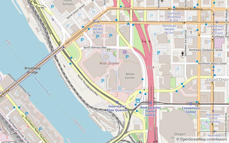
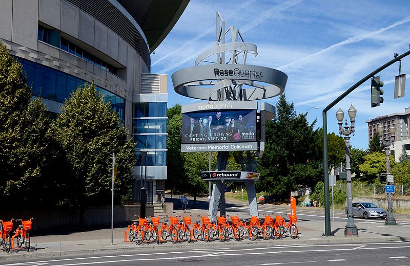
The Rose Quarter is a 30-acre sports and entertainment district located in Portland's Lloyd District on the east bank of the Willamette River, just east of downtown. The Rose Quarter is bounded on the west by NE Interstate Avenue, on the north by NE Broadway and NE Weidler Streets, on the east by Interstate 5, and on the south by NE Holliday Street. The site contains two multipurpose arenas, the Moda Center and the Memorial Coliseum. Nearby landmarks include the Steel and Broadway bridges, the Oregon Convention Center, and the Eastbank Esplanade. ()
Opened: 1960 (66 years ago)Capacity: 20 thous.Coordinates: 45°31'54"N, 122°40'5"W
Day trips
Rose Quarter – popular in the area (distance from the attraction)
Nearby attractions include: Dante's, Stag PDX, CC Slaughters, Barbarella.
Frequently Asked Questions (FAQ)
Which popular attractions are close to Rose Quarter?
Nearby attractions include Essential Forces, Portland (2 min walk), Broadway Bridge, Portland (7 min walk), Steel Bridge, Portland (7 min walk), Oregon Convention Center, Portland (9 min walk).
How to get to Rose Quarter by public transport?
The nearest stations to Rose Quarter:
Bus
Light rail
Tram
Train
Bus
- Northeast Wheeler & Multnomah • Lines: 157 (3 min walk)
- North Interstate & Multnomah • Lines: 35 (4 min walk)
Light rail
- Interstate/Rose Quarter • Lines: Yellow (3 min walk)
- Rose Quarter Transit Center • Lines: Blue, Green, Red (5 min walk)
Tram
- North Weidler & Ross • Lines: A (5 min walk)
- North Broadway & Ross • Lines: B (6 min walk)
Train
- Portland Union Station (13 min walk)


