Eastbank Esplanade, Portland
Map

Map

Facts and practical information
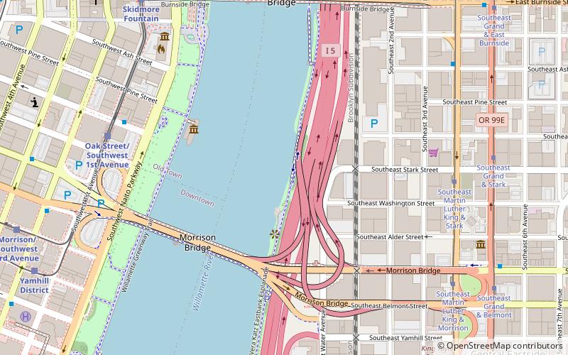
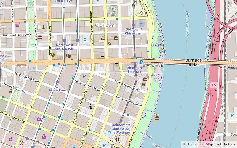
The Eastbank Esplanade is a pedestrian and bicycle path along the east shore of the Willamette River in Portland, Oregon, United States. Running through the Kerns, Buckman, and Hosford-Abernethy neighborhoods, it was conceived as an urban renewal project to rebuild the Interstate 5 bicycle bypass washed out by the Willamette Valley Flood of 1996. It was renamed for former Portland mayor Vera Katz in November 2004 and features a statue of her near the Hawthorne Bridge. ()
Coordinates: 45°31'9"N, 122°40'1"W
Day trips
Eastbank Esplanade – popular in the area (distance from the attraction)
Nearby attractions include: Dante's, CC Slaughters, Pioneer Place, Silverado.
Frequently Asked Questions (FAQ)
Which popular attractions are close to Eastbank Esplanade?
Nearby attractions include Tom McCall Waterfront Park, Portland (6 min walk), Hallock–McMillan Building, Portland (6 min walk), Morrison Bridge, Portland (7 min walk), Burnside Bridge, Portland (7 min walk).
How to get to Eastbank Esplanade by public transport?
The nearest stations to Eastbank Esplanade:
Bus
Tram
Light rail
Train
Bus
- Southwest Oak & 1st • Lines: 16 (7 min walk)
- Southeast Martin Luther King & Ash • Lines: 6 (8 min walk)
Tram
- Southeast Martin Luther King & Stark • Lines: A (7 min walk)
- Southeast Grand & Stark • Lines: B (8 min walk)
Light rail
- Oak Street/Southwest 1st Avenue • Lines: Blue, Red (7 min walk)
- Skidmore Fountain • Lines: Blue, Red (9 min walk)
Train
- Portland Union Station (22 min walk)


