Clagett Butte, Yellowstone National Park
Map
Map

Facts and practical information
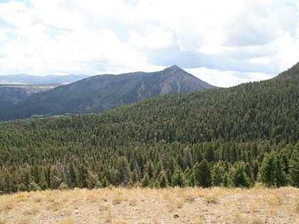
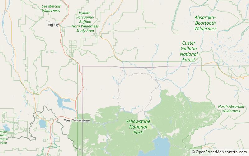
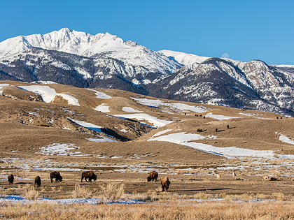
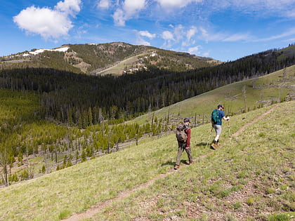
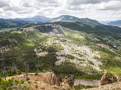
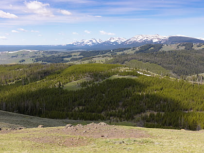
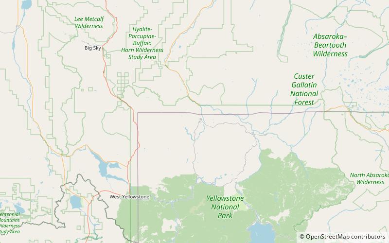
Clagett Butte el. 8,041 feet is a mountain peak butte in the Gallatin Range in Yellowstone National Park. Clagett Butte is an isolated summit 1.9 miles west of Mammoth Hot Springs between Clematis Creek and Snow Pass. The Snow Pass trail passes approximately.33 miles south of the butte. ()
Elevation: 8041 ftCoordinates: 44°57'52"N, 110°44'6"W
Address
Yellowstone National Park
ContactAdd
Social media
Add
Day trips
Clagett Butte – popular in the area (distance from the attraction)
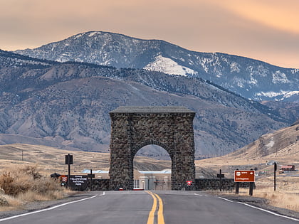
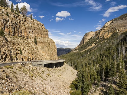
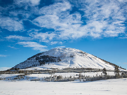
Nearby attractions include: Roosevelt Arch, Golden Gate Canyon, Bunsen Peak, Osprey Falls.
