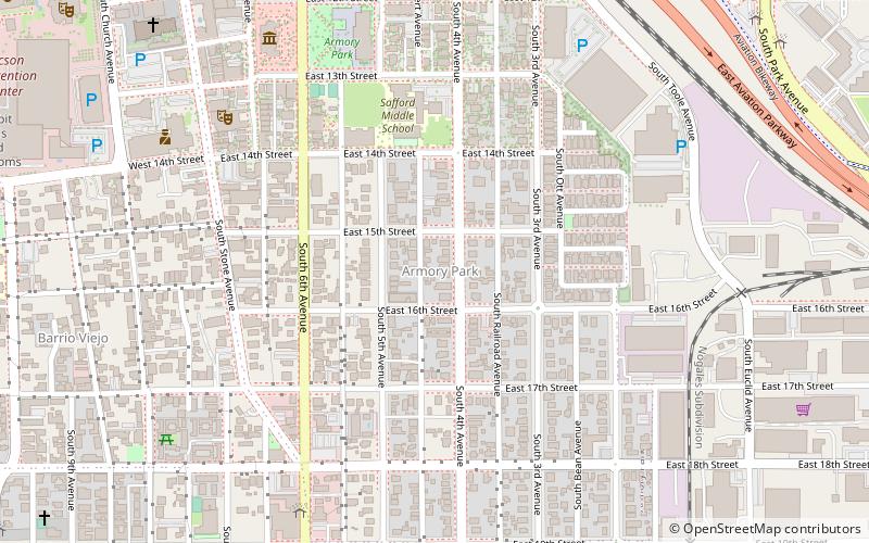
Armory Park, Tucson
Map

Map

Facts and practical information
Armory Park Historic Residential District is a historic district in Tucson, Arizona. It was listed on the NRHP in 1976 and the district boundaries were increased in 1996. ()
Built: 1880 (146 years ago)Coordinates: 32°12'55"N, 110°57'58"W
Address
Central Tucson (Armory Park)Tucson
ContactAdd
Social media
Add
Day trips
Armory Park – popular in the area (distance from the attraction)
Nearby attractions include: Tucson Convention Center, Cathedral of Saint Augustine, Fox Tucson Theatre, Rialto Theatre.
Frequently Asked Questions (FAQ)
Which popular attractions are close to Armory Park?
Nearby attractions include Philabaum Glass Gallery & Studio, Tucson (6 min walk), Jewish History Museum, Tucson (7 min walk), Etherton Gallery, Tucson (10 min walk), Museum of Contemporary Art, Tucson (11 min walk).
How to get to Armory Park by public transport?
The nearest stations to Armory Park:
Tram
Bus
Train
Tram
- Broadway Boulevard & 6th Avenue • Lines: Sun Link (11 min walk)
- Toole Avenue & 4th Avenue • Lines: Sun Link (12 min walk)
Bus
- Tucson Greyhound Bus Depot (14 min walk)
- Ronstadt Transit Center • Lines: 1, 10 Nb, 10 Sb, 12, 16, 18, 19, 21, 23, 25 Nb, 3 Eb, 3 Wb, 4, 421, 8 (14 min walk)
Train
- Tucson (14 min walk)


