Joseph J. O'Donnell Field, Boston
Map
Facts and practical information
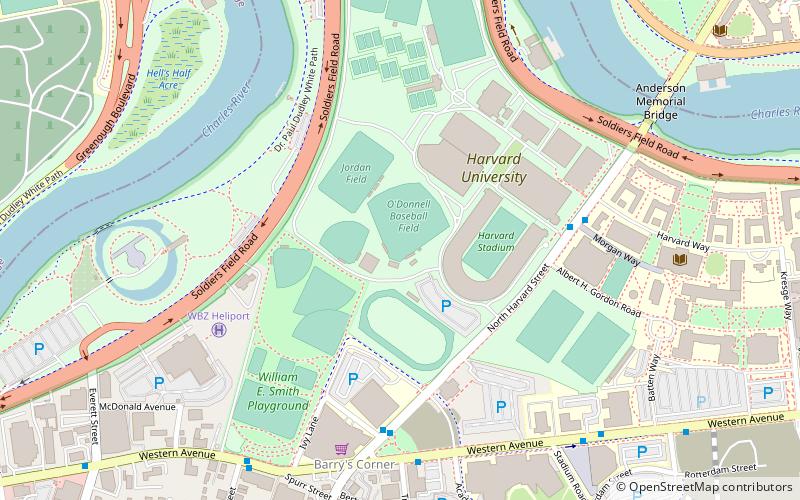
Joseph J. O'Donnell Field is a baseball venue in Boston, Massachusetts, United States. It is home to the Harvard Crimson baseball team of Harvard University. Formerly known as Soldier's Field, the location has been home to Harvard baseball since 1898. The venue is named for Joseph J. O'Donnell, a Harvard alumnus who played baseball and football while attending the school. It has a capacity of 1,600 spectators. ()
Capacity: 1600Coordinates: 42°21'60"N, 71°7'44"W
Address
AllstonBoston
ContactAdd
Social media
Add
Getting there by public transportation
Public transportation stops near this location
- Metro
- Bus
- Light rail
 Metro
Metro
- Calculate routeHarvard Square 18 min walk
- Calculate routeMt Auburn St @ DeWolfe St 19 min walk
- Calculate routeMassachusetts Ave @ Holyoke St 19 min walk
- Calculate routeHarvard 19 min walk
- Calculate routePackards Corner 27 min walk
- Calculate routeHarvard Avenue 29 min walk
- Calculate routeBabcock Street 29 min walk
- Calculate routeAmory Street 33 min walk
Maps MBTA Subway
MBTA SubwayDay trips


Frequently Asked Questions (FAQ)
Which popular attractions are close to Joseph J. O'Donnell Field?
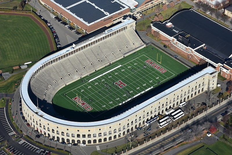
Nearby attractions include Harvard Stadium, Boston (3 min walk), Bright-Landry Hockey Center, Boston (4 min walk), The Class of 1959 Chapel, Boston (7 min walk), Baker Library/Bloomberg Center, Boston (8 min walk).
How to get to Joseph J. O'Donnell Field by public transport?
The nearest stations to Joseph J. O'Donnell Field:
Bus
Metro
Light rail
Bus
- Harvard Square (18 min walk)
- Mt Auburn St @ DeWolfe St • Lines: 1 (19 min walk)
Metro
- Harvard • Lines: Red (19 min walk)
Light rail
- Packards Corner • Lines: B (27 min walk)
- Harvard Avenue • Lines: B (29 min walk)