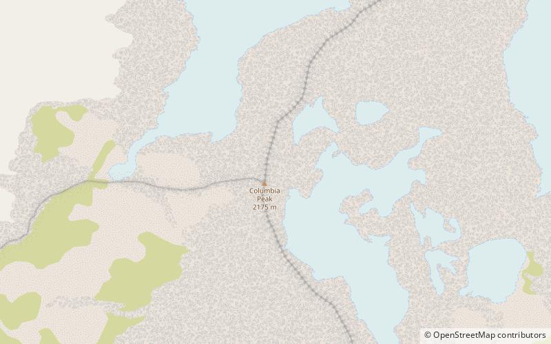
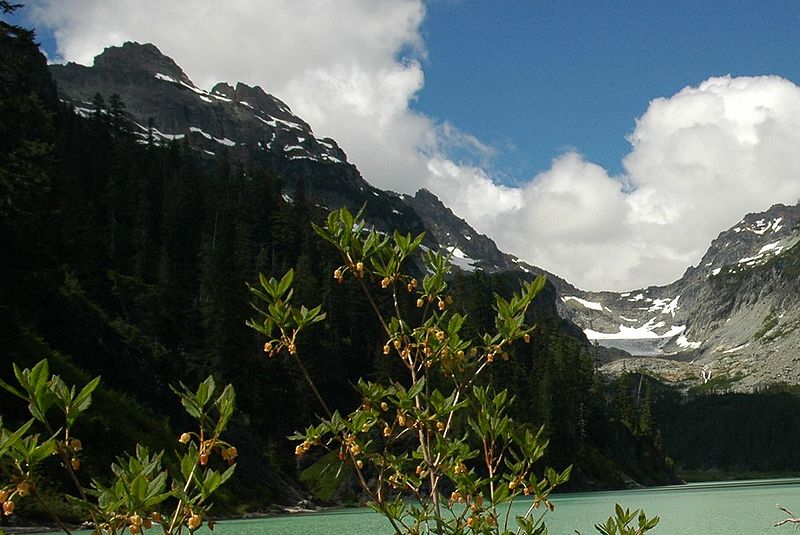
Columbia Peak, Henry M. Jackson Wilderness

Gallery (2)
Map
Map
Gallery
Facts and practical information
Columbia Peak is a mountain peak in the Henry M. Jackson Wilderness in the U.S. state of Washington. Columbia Peak rises to 7,172 feet. Together with Monte Cristo Peak and Kyes Peak it forms a basin that contains Columbia Glacier and Blanca Lake. ()
Elevation: 7172 ftProminence: 1132 ftCoordinates: 47°57'42"N, 121°21'40"W
Address
Henry M. Jackson Wilderness
ContactAdd
Social media
Add
Day trips