Mount Pugh, Glacier Peak Wilderness
Map

Map

Facts and practical information
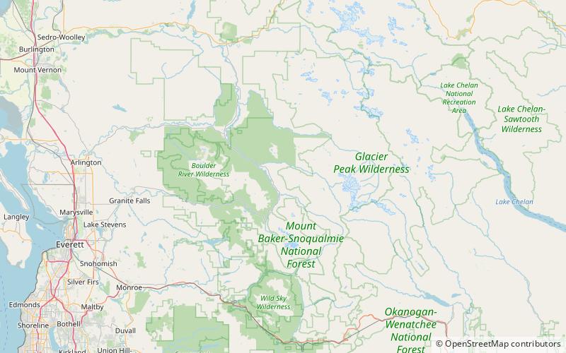
Mount Pugh is a peak near the western edge of the North Cascades, in Washington state. It is located 12.2 miles west of Glacier Peak, one of the Cascade stratovolcanoes. It rises out of the confluence of the White Chuck River and the Sauk River, giving it very low footings. For example, it rises 6,150 feet above the Sauk River Valley in just over 2 horizontal miles; its rise over the White Chuck River is almost as dramatic. The mountain is named for John Pugh, who settled nearby, in 1891. ()
First ascent: 1916Elevation: 7201 ftProminence: 2801 ftCoordinates: 48°8'36"N, 121°22'26"W
Address
Glacier Peak Wilderness
ContactAdd
Social media
Add
Day trips
Mount Pugh – popular in the area (distance from the attraction)
Nearby attractions include: Mount Dickerman, Round Lake, Breccia Peak.


