Mount Dickerman, Mount Baker–Snoqualmie National Forest

Gallery (1)
Map
Map
Facts and practical information
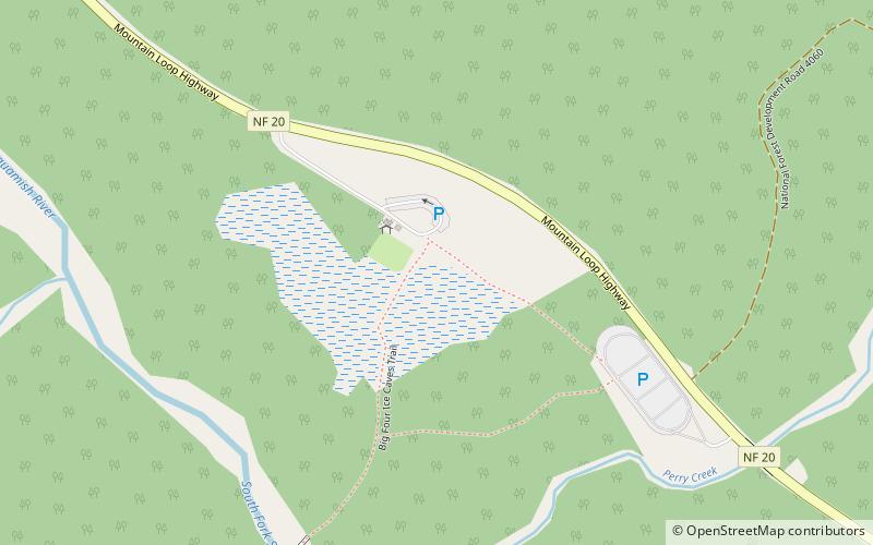
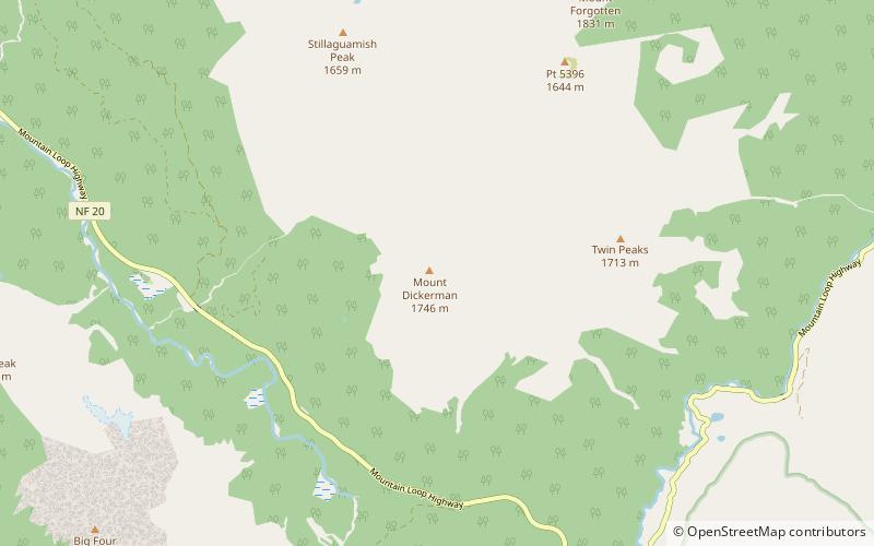
Mount Dickerman, or Dickerman Mountain, is a mountain in Mount Baker-Snoqualmie National Forest in Washington state. It is located northwest of Barlow Pass along the Mountain Loop Highway. A strenuous four mile trail leads from this highway to the summit with views which includes Glacier Peak, Monte Cristo Peak, and Sloan Peak. ()
Elevation: 5728 ftProminence: 803 ftCoordinates: 48°4'7"N, 121°28'12"W
Address
Mount Baker–Snoqualmie National Forest
ContactAdd
Social media
Add
Day trips