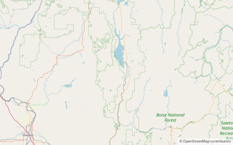
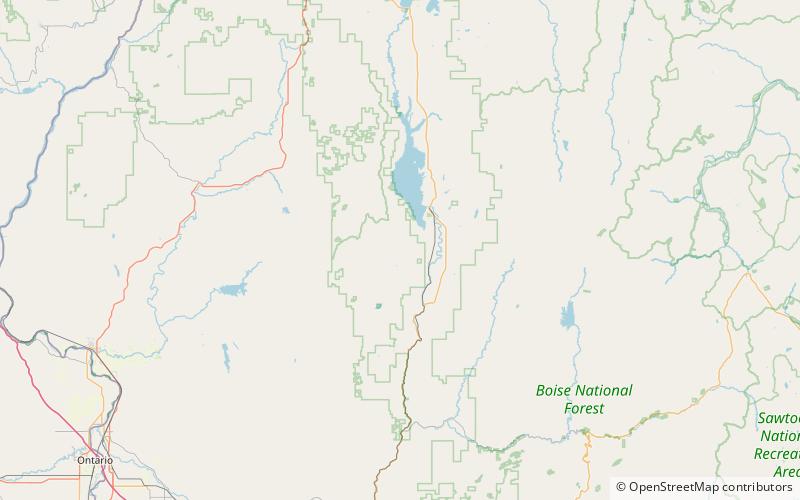
West Mountains, Boise National Forest

Map
Facts and practical information
The West Mountains are a mountain range in the U.S. state of Idaho, spanning part of Boise and Payette national forests. The highest point in the range is Snowbank Mountain at an elevation of 8,320 feet above sea level. The range is bordered to the east by the Payette River and the North Fork Payette River, which separate the range from the Boise Mountains. ()
Area: 2028 mi²Maximum elevation: 8320 ftCoordinates: 44°27'5"N, 116°7'44"W
Address
Boise National Forest
ContactAdd
Social media
Add
Day trips
West Mountains – popular in the area (distance from the attraction)
Nearby attractions include: Lake Cascade, Snowbank Mountain.

