Snowbank Mountain, Boise National Forest

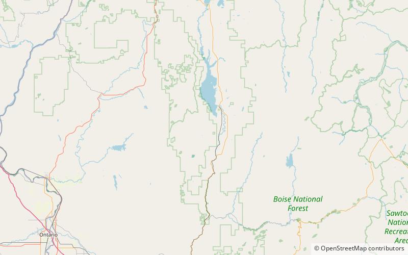
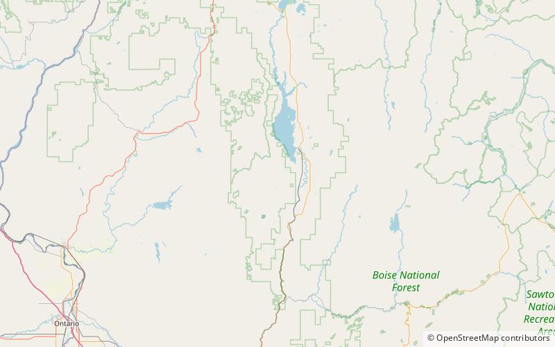
Map
Facts and practical information
Snowbank Mountain is the highest point in the West Mountains, in Boise National Forest, Idaho with a summit elevation of 8,320 feet above sea level. It is located 21.92 miles from Nick Peak, its line parent, giving it a prominence of 3,080 feet. The east side of Snowbank Mountain is drained by the North Fork Payette River, while the west side is drained by Squaw Creek, which is also a tributary of the Payette River. ()
Elevation: 8320 ftProminence: 3080 ftCoordinates: 44°26'25"N, 116°7'34"W
Address
Boise National Forest
ContactAdd
Social media
Add
Day trips
Snowbank Mountain – popular in the area (distance from the attraction)
Nearby attractions include: West Mountains.
