Fort Scott Park, Arlington
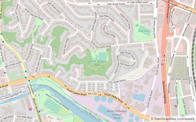
Map
Map

Facts and practical information
Fort Scott was a detached lunette constructed in May 1861 to guard the south flank of the defenses of Washington during the American Civil War. It was named for General Winfield Scott, who was then General-in-Chief of the Union Army. An historic marker and a small remnant of the fort are the only evidence of the site of the fort on the grounds of what is now Fort Scott Park in Arlington County, Virginia. ()
Built: 1861 (165 years ago)Demolished: 1865Elevation: 144 ft a.s.l.Coordinates: 38°50'48"N, 77°3'32"W
Address
2800 Ft Scott DrSouth Arlington (Arlington Ridge)Arlington 22202
Contact
Social media
Add
Day trips
Fort Scott Park – popular in the area (distance from the attraction)
Nearby attractions include: Fashion Centre at Pentagon City, Pentagon Row, The Birchmere, Dea Museum and Visitors Center.
Frequently Asked Questions (FAQ)
Which popular attractions are close to Fort Scott Park?
Nearby attractions include The Birchmere, Alexandria (13 min walk), Crystal City, Arlington (17 min walk), Arlington Ridge, Arlington (18 min walk), Aurora Highlands Historic District, Arlington (23 min walk).
How to get to Fort Scott Park by public transport?
The nearest stations to Fort Scott Park:
Bus
Metro
Train
Bus
- S Arlington Ridge Rd & S Glebe Rd • Lines: 23A, 23B (9 min walk)
- Crystal City Transitway + 33Rd St • Lines: Mw1 (9 min walk)
Metro
- Crystal City • Lines: Bl, Yl (23 min walk)
- Ronald Reagan Washington National Airport • Lines: Bl, Yl (24 min walk)
Train
- Crystal City (27 min walk)


