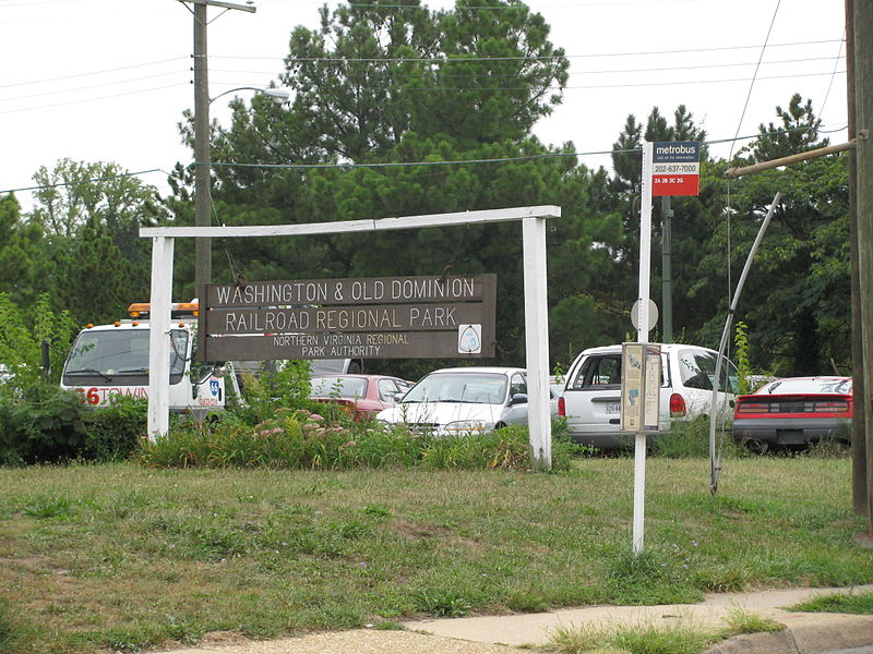
Washington and Old Dominion Railroad Regional Park, Alexandria
Map
Gallery
Facts and practical information
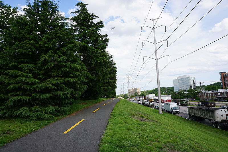
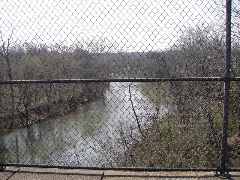
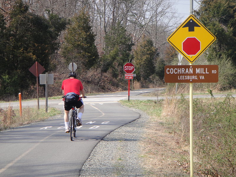
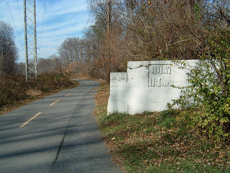
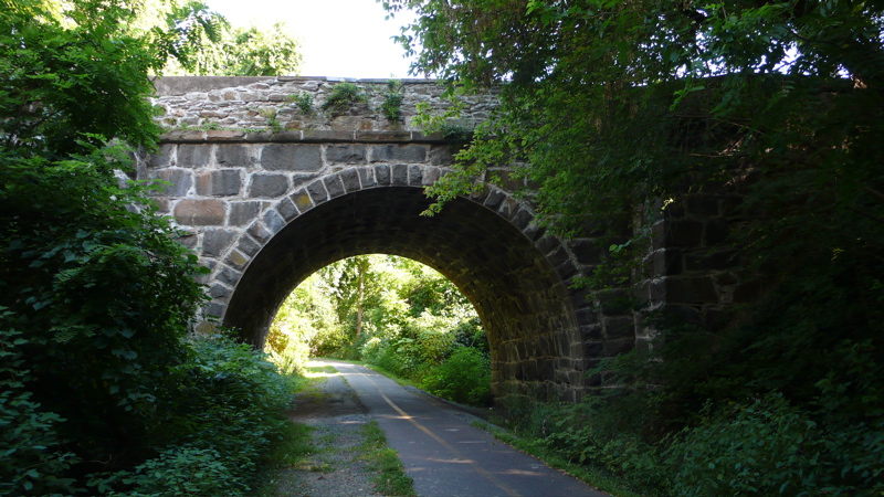
The Washington and Old Dominion Railroad Regional Park is a linear regional park in Northern Virginia. The park's primary feature is the Washington and Old Dominion Railroad Trail, an asphalt-surfaced paved rail trail that runs through densely populated urban and suburban communities as well as through rural areas. Most of the trail travels on top of the rail bed of the former Washington and Old Dominion Railroad, which closed in 1968. ()
Length: 44.7 miMaximum elevation: 610 ftMinimal elevation: 141 ftCoordinates: 38°50'36"N, 77°4'52"W
Address
South Arlington (Nauck)Alexandria
ContactAdd
Social media
Add
Day trips
Washington and Old Dominion Railroad Regional Park – popular in the area (distance from the attraction)
Nearby attractions include: The Village at Shirlington, The Birchmere, Fort Ward, Four Mile Run Trail.
Frequently Asked Questions (FAQ)
Which popular attractions are close to Washington and Old Dominion Railroad Regional Park?
Nearby attractions include Lomax African Methodist Episcopal Zion Church, Arlington (9 min walk), Parkfairfax, Alexandria (12 min walk), Signature Theatre, Arlington (14 min walk), Shirlington, Arlington (14 min walk).
How to get to Washington and Old Dominion Railroad Regional Park by public transport?
The nearest stations to Washington and Old Dominion Railroad Regional Park:
Bus
Bus
- Martha Custis Dr & Parc East Condos • Lines: 23A, 23B, At3, At3/4 (3 min walk)
- Martha Custis Dr + Valley Dr • Lines: At3, At3/4 (5 min walk)


