Forest Hill Park, Richmond
Map

Map

Facts and practical information
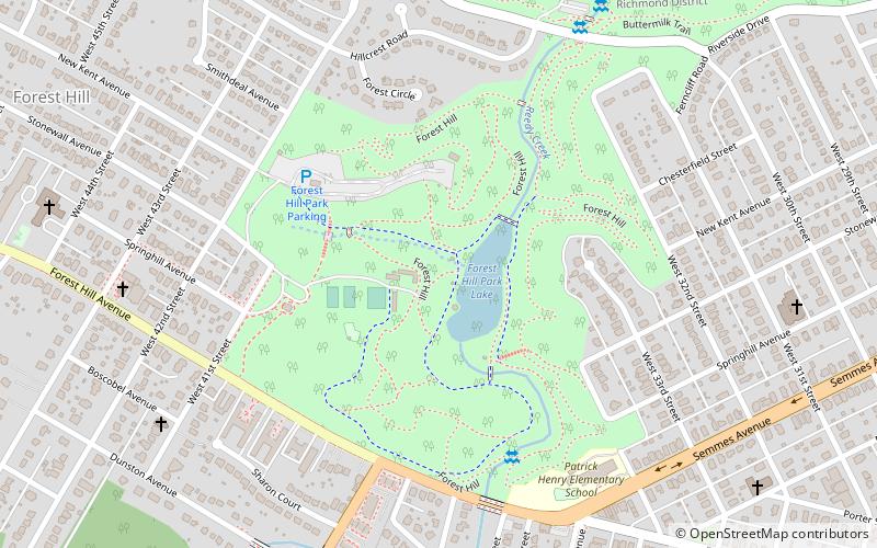
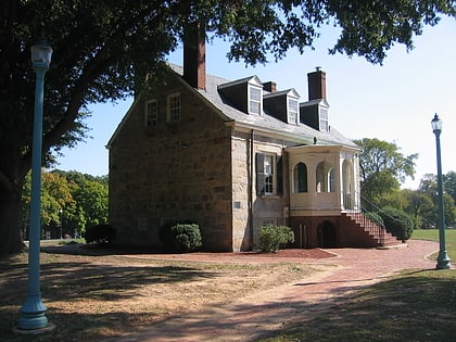
Forest Hill Park, known for its "Stone house" called Boscobel, is a popular and historic 105-acre urban park in Richmond, Virginia. Starting as a private property, the park has had several owners and uses before its present one, the City of Richmond. ()
Created: 1933Elevation: 108 ft a.s.l.Coordinates: 37°31'9"N, 77°28'23"W
Address
4021 Forest Hill AveWestover Hills - Forest Hill Park (Forest Hill Park)Richmond 23225
Contact
(804) 646-0036
Social media
Add
Day trips
Forest Hill Park – popular in the area (distance from the attraction)
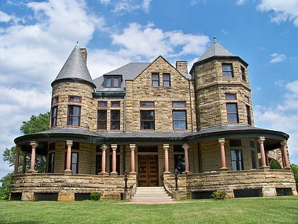
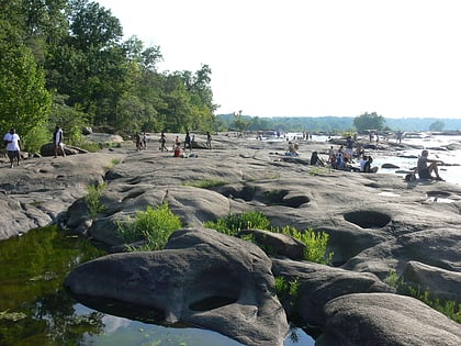
Nearby attractions include: Maymont, Belle Isle, Texas Beach Skate Park, James Monroe Tomb.
Frequently Asked Questions (FAQ)
Which popular attractions are close to Forest Hill Park?
Nearby attractions include Forest Hill, Richmond (3 min walk), Woodland Heights, Richmond (16 min walk), Texas Beach, Richmond (20 min walk), James River Park System, Richmond (22 min walk).
How to get to Forest Hill Park by public transport?
The nearest stations to Forest Hill Park:
Bus
Bus
- Pennsylvania + Greenville • Lines: 78 (27 min walk)
- Broad Rock & 33rd • Lines: 87 (28 min walk)


