James River Park System, Richmond
Map

Map

Facts and practical information
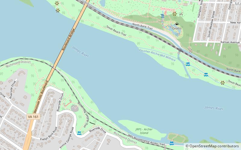
The James River Parks System is a 550-acre municipal park in Richmond, Virginia. It consists of multiple sections along the James River between the Huguenot Memorial Bridge in the west to a half mile beyond the I-95 Bridge over the James in the east. It is a part of the city’s Department of Parks, Recreation and Community Facilities. ()
Elevation: 56 ft a.s.l.Coordinates: 37°31'48"N, 77°28'48"W
Address
Westover Hills - Forest Hill Park (Forest Hill)Richmond
ContactAdd
Social media
Add
Day trips
James River Park System – popular in the area (distance from the attraction)
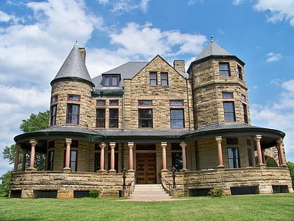
Nearby attractions include: Maymont, Texas Beach Skate Park, Forest Hill Park, Byrd Park.
Frequently Asked Questions (FAQ)
Which popular attractions are close to James River Park System?
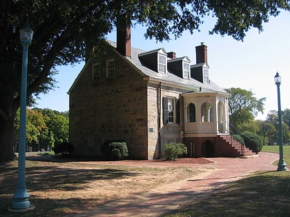
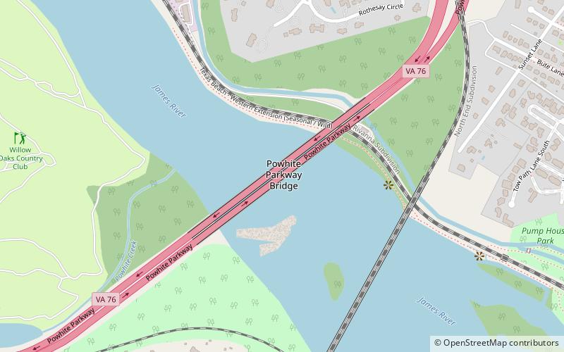
Nearby attractions include Boulevard Bridge, Richmond (7 min walk), Maymont, Richmond (11 min walk), New Pump-House, Richmond (15 min walk), Texas Beach, Richmond (16 min walk).
How to get to James River Park System by public transport?
The nearest stations to James River Park System:
Bus
Bus
- Pennsylvania + Greenville • Lines: 78 (15 min walk)
- Carter & Dakota • Lines: 78 (18 min walk)


