Loring Park, Minneapolis
Map
Facts and practical information
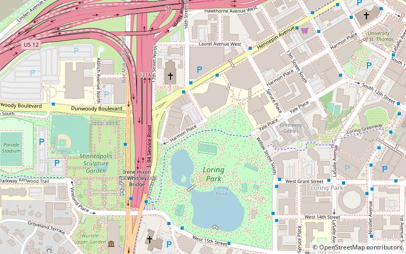
Loring Park is the largest park in the Central Community of Minneapolis, Minnesota. Located on the southwest corner of downtown Minneapolis, it also lends its name to the surrounding neighborhood. ()
Area: 0.45 mi²Elevation: 820 ft a.s.l.Coordinates: 44°58'17"N, 93°17'6"W
Address
1382 Willow StCentral Minneapolis (Loring Park)Minneapolis 55403-2256
Contact
+1 612-370-4929
Social media
Add
Day trips
Loring Park – popular in the area (distance from the attraction)
Nearby attractions include: First Avenue, Dakota Jazz Club, Spoonbridge and Cherry, Target Plaza South.
Frequently Asked Questions (FAQ)
Which popular attractions are close to Loring Park?
Nearby attractions include Basilica of St. Mary, Minneapolis (4 min walk), Minneapolis Sculpture Garden, Minneapolis (5 min walk), Spoonbridge and Cherry, Minneapolis (6 min walk), 110 Grant Apartments, Minneapolis (6 min walk).
How to get to Loring Park by public transport?
The nearest stations to Loring Park:
Bus
Light rail
Train
Bus
- Maple St • Lines: 4, 4B, 4G (3 min walk)
- 16 St • Lines: 4, 4A, 4L, 4P (3 min walk)
Light rail
- Warehouse District/Hennepin Avenue • Lines: 901, 902 (21 min walk)
- Target Field • Lines: 901, 902 (23 min walk)
Train
- Target Field (23 min walk)

