Peavey Plaza, Minneapolis
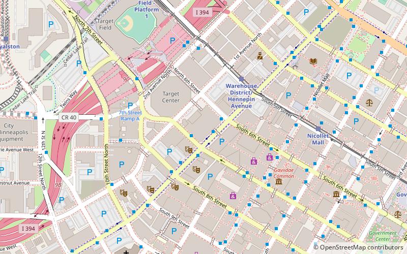
Map
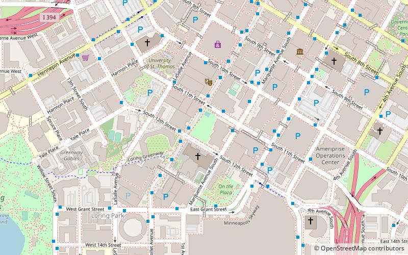
Map

Facts and practical information
Peavey Plaza is a public outdoor event space in downtown Minneapolis, Minnesota at the south end of Nicollet Mall between South 11th and 12th Streets. The sunken plaza and its amphitheater were designed by landscape architect M. Paul Friedberg and built in 1975 alongside Orchestra Hall. The Cultural Landscape Foundation has deemed the plaza a "marvel of modernism" and it has been named one of the top ten most endangered historical sites in Minnesota. ()
Built: 1975 (51 years ago)Architectural style: ModernElevation: 843 ft a.s.l.Coordinates: 44°58'20"N, 93°16'32"W
Address
1100 S Marquette AveCentral Minneapolis (Downtown West)Minneapolis 55403
Contact
Social media
Add
Day trips
Peavey Plaza – popular in the area (distance from the attraction)
Nearby attractions include: Nicollet Mall, First Avenue, Target Center, Dakota Jazz Club.
Frequently Asked Questions (FAQ)
When is Peavey Plaza open?
Peavey Plaza is open:
- Monday 24h
- Tuesday 24h
- Wednesday 24h
- Thursday 24h
- Friday 24h
- Saturday 24h
- Sunday 24h
Which popular attractions are close to Peavey Plaza?
Nearby attractions include Orchestra Hall, Minneapolis (1 min walk), Westminster Presbyterian Church, Minneapolis (2 min walk), Minneapolis Convention Center, Minneapolis (5 min walk), Downtown West, Minneapolis (5 min walk).
How to get to Peavey Plaza by public transport?
The nearest stations to Peavey Plaza:
Bus
Light rail
Train
Bus
- Marquette Avenue & 11th Street • Lines: 250C, 250M, 270 (2 min walk)
- Marquette Avenue & 10th Street • Lines: 781 (4 min walk)
Light rail
- Nicollet Mall • Lines: 901, 902 (14 min walk)
- Warehouse District/Hennepin Avenue • Lines: 901, 902 (14 min walk)
Train
- Target Field (20 min walk)


