Athmar Park, Denver
Map

Gallery

Facts and practical information
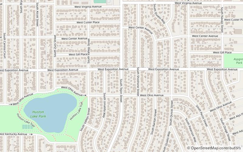
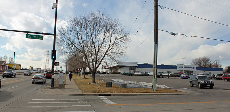
Athmar Park is a residential neighborhood in southwest Denver, Colorado. It consists mostly of all-brick ranches and bungalow-style homes built in the 1940s and 1950s. ()
Coordinates: 39°42'13"N, 105°0'40"W
Day trips
Athmar Park – popular in the area (distance from the attraction)
Nearby attractions include: Hi-Dive Denver, Broadway Plaza, Aqua Golf, Baker.
Frequently Asked Questions (FAQ)
How to get to Athmar Park by public transport?
The nearest stations to Athmar Park:
Bus
Light rail
Bus
- West Alameda Avenue & South Tejon Street • Lines: 3, 4 (14 min walk)
Light rail
- Alameda • Lines: C, D, E, F, H (26 min walk)
- I-25 & Broadway • Lines: C, D, E, F, H (29 min walk)


