Ruby Hill, Denver
Map

Map

Facts and practical information
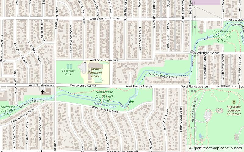
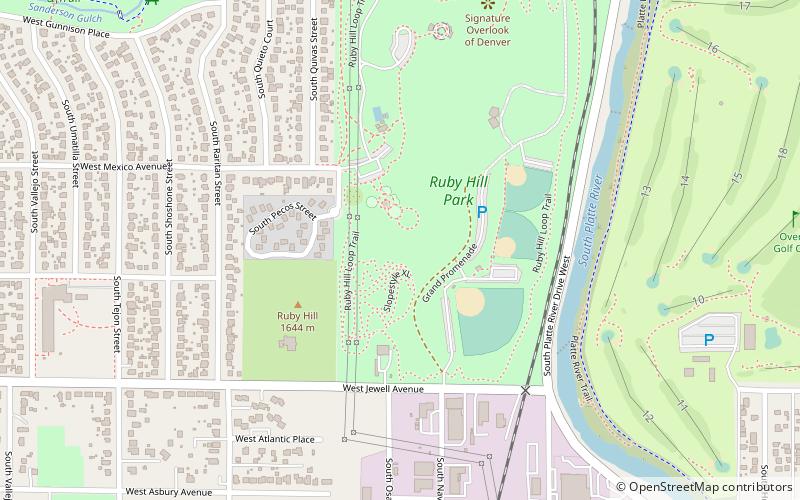
Ruby Hill is a neighborhood of Denver, Colorado. The neighborhood takes its name from Ruby Hill, a 5,390 ft elevation hill in the neighborhood that overlooks much of South Denver. The hill itself was named for red stones found in the area by early miners, stones that turned out to be garnets. ()
Coordinates: 39°41'24"N, 105°0'40"W
Address
West Denver (Ruby Hill)Denver
ContactAdd
Social media
Add
Day trips
Ruby Hill – popular in the area (distance from the attraction)
Nearby attractions include: Overland Park Golf Course, Broadway Plaza, Grant-Frontier Park, Aqua Golf.
Frequently Asked Questions (FAQ)
How to get to Ruby Hill by public transport?
The nearest stations to Ruby Hill:
Light rail
Bus
Light rail
- Evans • Lines: C, D (33 min walk)
- I-25 & Broadway • Lines: C, D, E, F, H (35 min walk)
Bus
- I-25 & Broadway Gate C1 • Lines: (36 min walk)


