Queen's Fort, Davisville

Gallery (1)
Map
Map
Facts and practical information
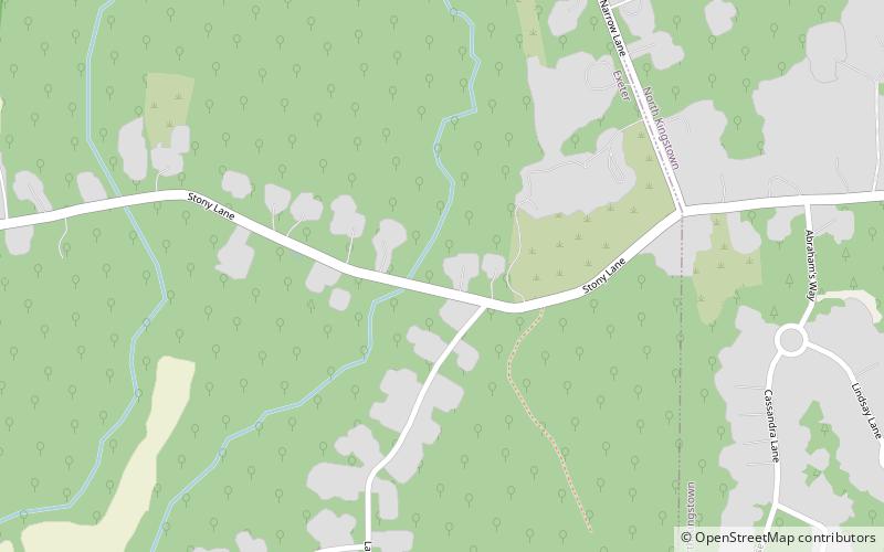
Queen's Fort is a historic site in Exeter, Rhode Island. Little more than a round, rocky hillock, the site has long been described as the site of a Native American fortification constructed in 1676 by Queen Quaiapen and members of the Narragansett Indian Tribe who survived the Great Swamp Massacre. ()
Coordinates: 41°35'35"N, 71°31'23"W
Address
Davisville
ContactAdd
Social media
Add
Day trips