Rancho Santiago Community College District, Santa Ana

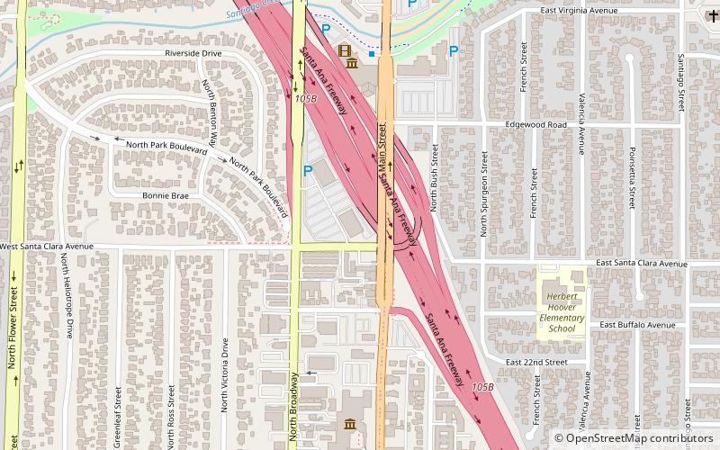
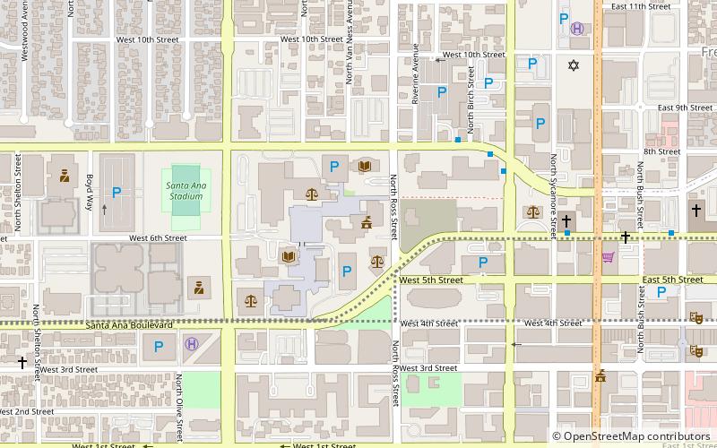
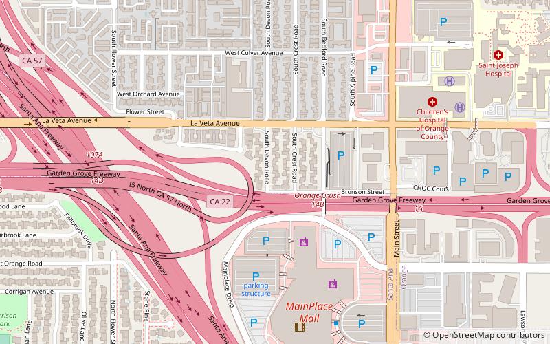
Map
Facts and practical information
Established: 1915 (111 years ago)Coordinates: 33°46'2"N, 117°52'5"W
Day trips
Rancho Santiago Community College District – popular in the area (distance from the attraction)
Nearby attractions include: Discovery Science Center, Bowers Museum, MainPlace Mall, Old Orange County Courthouse.
Frequently Asked Questions (FAQ)
Which popular attractions are close to Rancho Santiago Community College District?
Nearby attractions include Discovery Science Center, Santa Ana (6 min walk), Bowers Museum, Santa Ana (8 min walk), Saint Matthew Ecumenical Catholic Church, Orange (19 min walk), California Coast University, Orange (22 min walk).
How to get to Rancho Santiago Community College District by public transport?
The nearest stations to Rancho Santiago Community College District:
Train
Train
- Santa Ana (33 min walk)


