Santa Ana City Hall, Santa Ana
Facts and practical information
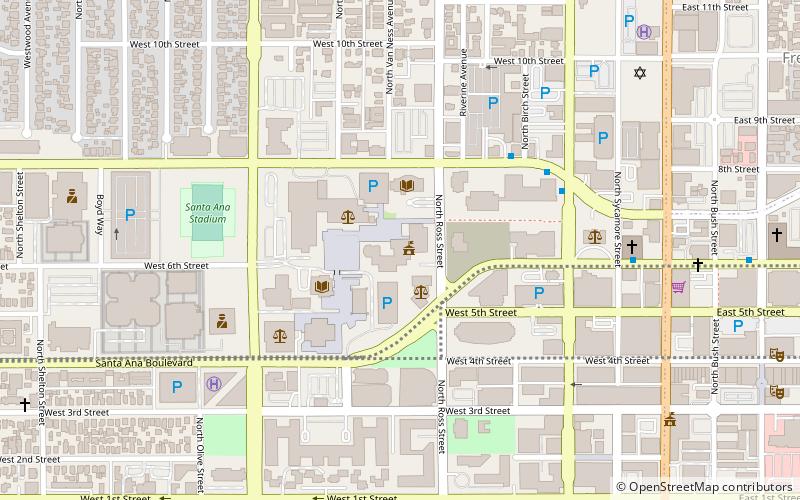
Santa Ana City Hall is the center of government for the city of Santa Ana, California. Situated in the Santa Ana Civic Center, the building is home to many of the departments of the city, such as the Santa Ana Housing Authority and the Santa Ana Public Works branches. The structure consists of two separate towers. The main tower, an 8-story modern low-rise building completed in 1972, features a distinct sculptural mural at the lower levels of the south-facing facade. The Ross Annex, a 4-story tower designed by MVE & Partners and developed by Griffin Structures along N Ross Avenue, serves as the second tower of the complex, an extra space for more offices. Soon after the construction of the Ross Annex, Griffin Structures also oversaw the renovation of the original city hall tower. ()
- Train
 Train
Train
- Calculate routeSanta Ana 25 min walk


Frequently Asked Questions (FAQ)
Which popular attractions are close to Santa Ana City Hall?
How to get to Santa Ana City Hall by public transport?
Train
- Santa Ana (25 min walk)