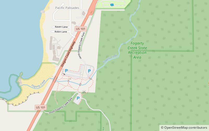
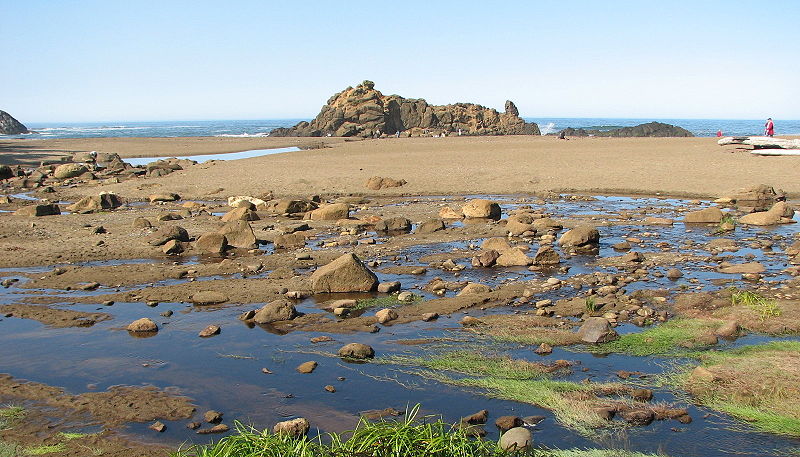
Fogarty Creek State Recreation Area, Depoe Bay

Gallery (2)
Map
Map
Gallery
Facts and practical information
Fogarty Creek State Recreation Area is a state park in the U.S. state of Oregon, administered by the Oregon Parks and Recreation Department. ()
Created: 1950Elevation: 13 ft a.s.l.Coordinates: 44°50'24"N, 124°2'49"W
Day trips


