Rocky Creek State Scenic Viewpoint, Depoe Bay

Gallery (1)
Map
Map
Facts and practical information
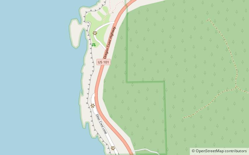
Rocky Creek State Scenic Viewpoint is a state park in Lincoln County in northwestern Oregon, United States. Administered by the Oregon Parks and Recreation Department, the 59-acre park lies along a bluff between Whale Cove and Rocky Creek. The park extends south along the Otter Crest Loop Road to the Rocky Creek Bridge. ()
Elevation: 213 ft a.s.l.Coordinates: 44°46'57"N, 124°4'16"W
Day trips


