Hendricks Park, Eugene
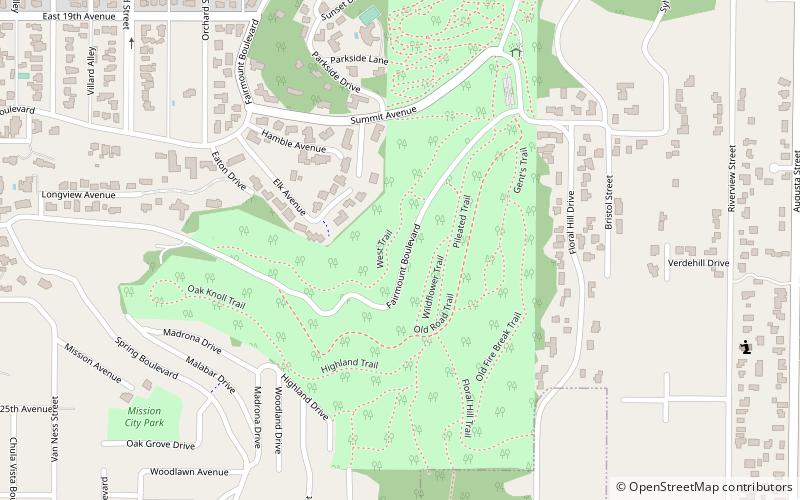
Map

Map

Facts and practical information
Hendricks Park is the oldest city park in Eugene, Oregon, United States. The 78-acre park is a little over a mile away from the University of Oregon campus, and contains mature forest, a 12-acre rhododendron garden, and a native plant garden. The park is laced with trails suitable for hiking, jogging, and birding. ()
Elevation: 676 ft a.s.l.Coordinates: 44°2'7"N, 123°3'32"W
Day trips
Hendricks Park – popular in the area (distance from the attraction)
Nearby attractions include: Hayward Field, Matthew Knight Arena, Jordan Schnitzer Museum of Art, Museum of Natural and Cultural History.
Frequently Asked Questions (FAQ)
Which popular attractions are close to Hendricks Park?
Nearby attractions include Maude Kerns Art Center, Eugene (16 min walk), Museum of Natural and Cultural History, Eugene (18 min walk), Knickerbocker Bicycle Bridge, Eugene (20 min walk), Hayward Field, Eugene (20 min walk).
How to get to Hendricks Park by public transport?
The nearest stations to Hendricks Park:
Bus
Bus
- FlixBus Eugene • Lines: 2110 (19 min walk)
- Glenwood Station Inbound • Lines: EmX (27 min walk)


