Whilamut Passage Bridge, Eugene
Map

Map

Facts and practical information
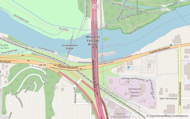
The Whilamut Passage Bridge is a pair of bridges across the Willamette River in Eugene, Oregon, U.S. The west span was completed in 2011. The east span was completed and opened in August 2013. They carry Interstate 5 traffic and replaced an earlier bridge completed in 1961. Construction on the bridges began in 2009 and cost $204 million. ()
Coordinates: 44°2'40"N, 123°3'0"W
Address
South Eugene (Laurel Hill)Eugene
ContactAdd
Social media
Add
Day trips
Whilamut Passage Bridge – popular in the area (distance from the attraction)
Nearby attractions include: Hayward Field, Autzen Stadium, Matthew Knight Arena, PK Park.
Frequently Asked Questions (FAQ)
Which popular attractions are close to Whilamut Passage Bridge?
Nearby attractions include Knickerbocker Bicycle Bridge, Eugene (3 min walk), Maude Kerns Art Center, Eugene (18 min walk), Hendricks Park, Eugene (20 min walk), Museum of Natural and Cultural History, Eugene (23 min walk).
How to get to Whilamut Passage Bridge by public transport?
The nearest stations to Whilamut Passage Bridge:
Bus
Bus
- Glenwood Station Inbound • Lines: EmX (9 min walk)
- Lexington Station Eastbound • Lines: EmX (19 min walk)


