Spencer Butte, Eugene
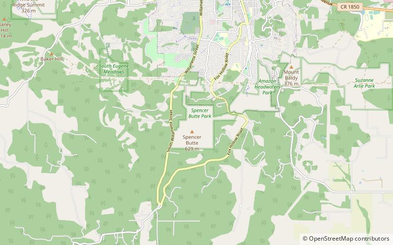
Map

Gallery

Facts and practical information
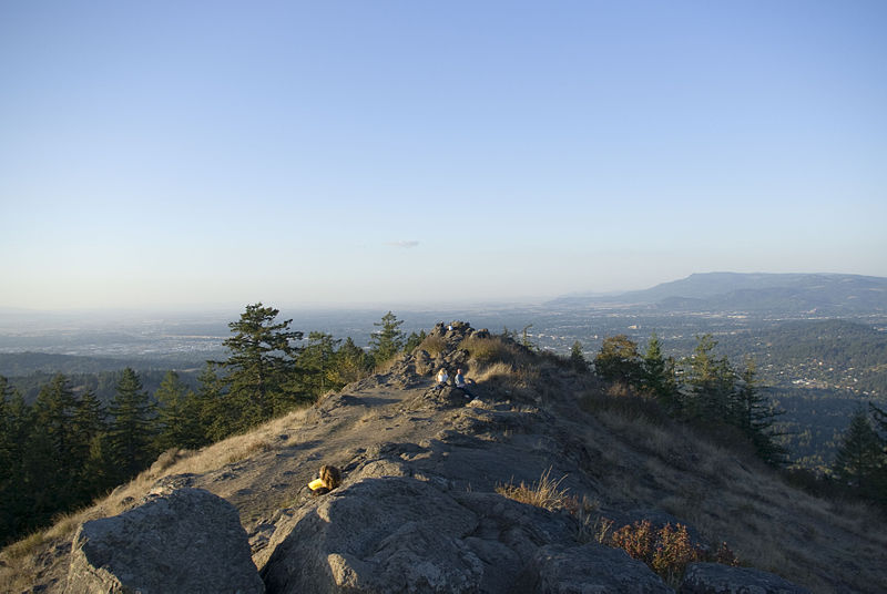
Spencer Butte is a prominent landmark in Lane County, Oregon, United States, described in the National Geodetic Survey as "a prominent timbered butte with a bare rocky summit" on the southern edge of Eugene, with an elevation of 2,058 feet. Spencer Butte is accessible from Spencer Butte Park and has several hiking trails to the summit. The tree cover on the butte is predominantly Douglas fir, however the butte is treeless at its summit. The butte is the tallest point visible when looking south from downtown Eugene. ()
Elevation: 1578 ft a.s.l.Coordinates: 43°59'7"N, 123°5'38"W
Day trips
Spencer Butte – popular in the area (distance from the attraction)
Nearby attractions include: Hayward Field, Matthew Knight Arena, Museum of Natural and Cultural History, Hendricks Park.


