Roberto Clemente Memorial Park, Pittsburgh
Map
Facts and practical information
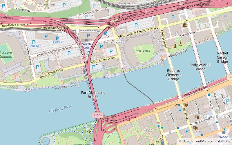
Roberto Clemente Memorial Park is maintained by the Department of Parks and Recreation, City of Pittsburgh, Pennsylvania, in honor of Pittsburgh Pirates great Roberto Clemente. The park is located along North Shore Drive in the city's North Side, near Heinz Field and PNC Park. ()
Elevation: 715 ft a.s.l.Coordinates: 40°26'45"N, 80°0'27"W
Address
North Side (Northshore)Pittsburgh
ContactAdd
Social media
Add
Getting there by public transportation
Public transportation stops near this location
- Bus
- Light rail
- Train
 Bus
Bus
- Calculate routeNorth Side 5 min walk
- Calculate routeWood Street 13 min walk
- Calculate routeAllegheny 15 min walk
- Calculate routeSteel Plaza 20 min walk
- Calculate routeLiberty Ave at Wyndham Grand 8 min walk
- Calculate routeLiberty Ave at Stanwix St 9 min walk
- Calculate route7th St at Ft Duquesne Blvd 10 min walk
- Calculate routePittsburgh Union Station 22 min walk
Day trips
Roberto Clemente Memorial Park – popular in the area (distance from the attraction)
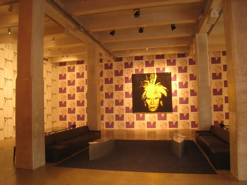
Nearby attractions include: The Andy Warhol Museum, Heinz Field, PNC Park, Fort Pitt Museum.


Frequently Asked Questions (FAQ)
Which popular attractions are close to Roberto Clemente Memorial Park?
Nearby attractions include North Shore Connector tunnel, Pittsburgh (3 min walk), Fort Duquesne Bridge, Pittsburgh (3 min walk), North Shore, Pittsburgh (4 min walk), PNC Park, Pittsburgh (4 min walk).
How to get to Roberto Clemente Memorial Park by public transport?
The nearest stations to Roberto Clemente Memorial Park:
Light rail
Bus
Train
Light rail
- North Side • Lines: Blue, Red, Silver (5 min walk)
- Wood Street • Lines: Blue, Red, Silver (13 min walk)
Bus
- Liberty Ave at Wyndham Grand • Lines: Metro Commuter, P10 (8 min walk)
- Liberty Ave at Stanwix St • Lines: P10 (9 min walk)
Train
- Pittsburgh Union Station (22 min walk)