Trek Zone

Kansas City Kansas Community College, Kansas City
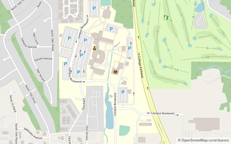
#220 among attractions in Kansas City

Universities and schools
Kansas City Kansas Community College location map
Map

Facts and practical information

Coordinates: 39°7'16"N, 94°44'49"W
Address

7250 State AveWest Kansas City (Victory Hills)Kansas City United States

Contact
Social media
Add
Day trips

Kansas City Kansas Community College – popular in the area (distance from the attraction)

Nearby attractions include: Legends Outlets Kansas City, Schlitterbahn Kansas City, Legends Field, Lakeside Speedway.

  • legends outlets kansas city4.2 miW
  • schlitterbahn kansas city3 miW
  • communityamerica ballpark kansas city4.5 miW
  • lakeside speedway kansas city5.8 miNW
  • grinter place state historic site kansas city3.2 miS
  • english landing park parkville5.8 miNE
  • cathedral of saint peter kansas city5.5 miE
  • kansas speedway kansas city4.5 miW
  • kansas avenue bridge kansas city location map
    5.3 miSE
  • waddell a truss bridge parkville5.7 miNE
  • charles smith scott memorial observatory parkville6 miNE

Where to next? Visit kansas Kansas region page or discover the top tourist attractions in United States.