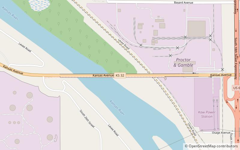
Kansas Avenue Bridge, Kansas City
Map
Facts and practical information
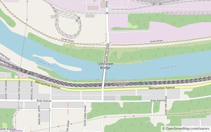
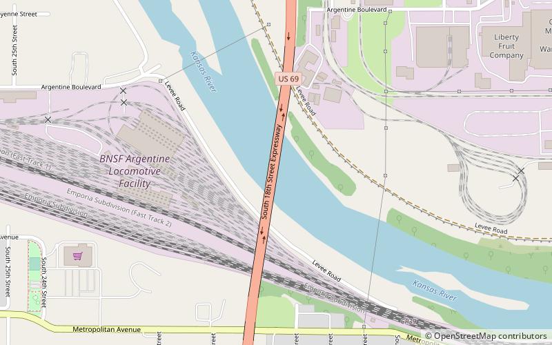
The Kansas Avenue Bridge is a four lane, multi-beam girder bridge crossing the Kansas River, and a small company on the east side. It was first built in 1916 as a 9 span thru-truss, but later in 1988 destroyed, and replaced with the current multi-beam girder bridge. It is just west of the 18th Street Expressway Bridge. ()
Opened: 1916 (110 years ago)Coordinates: 39°5'15"N, 94°39'28"W
Address
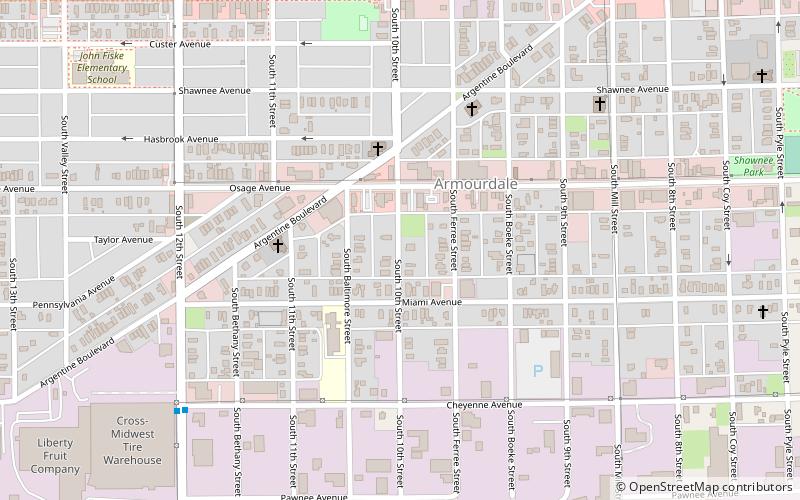
West Kansas City (Armourdale)Kansas City
ContactAdd
Social media
Add
Day trips