Sartell Bridge, Sartell
Map
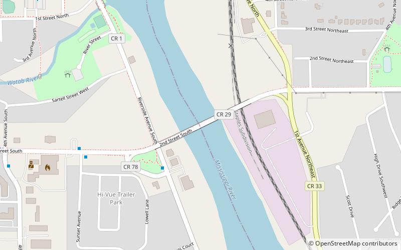
Map

Facts and practical information
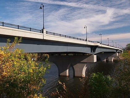
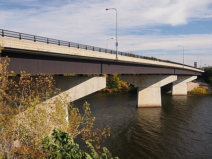
The Sartell Bridge is a bridge that spans the Mississippi River in the city of Sartell in the U.S. state of Minnesota. The bridge also spans a roadway, property belonging to the Sartell paper mill, and a rail line on the east side of the river. ()
Opened: 1984 (42 years ago)Coordinates: 45°36'58"N, 94°12'5"W
Address
Sartell
ContactAdd
Social media
Add
Day trips
Sartell Bridge – popular in the area (distance from the attraction)
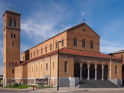
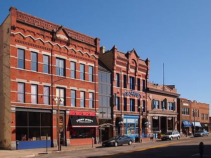
Nearby attractions include: Crossroads Center, Joe Faber Field, Granite City Crossing, Cathedral of Saint Mary.
Frequently Asked Questions (FAQ)
Which popular attractions are close to Sartell Bridge?
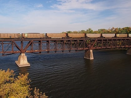
Nearby attractions include Old Sartell Bridge, Sartell (5 min walk), Sartell Dam, Sartell (9 min walk).


