Troy Peak, Grant Range Wilderness
Gallery (1)
Map
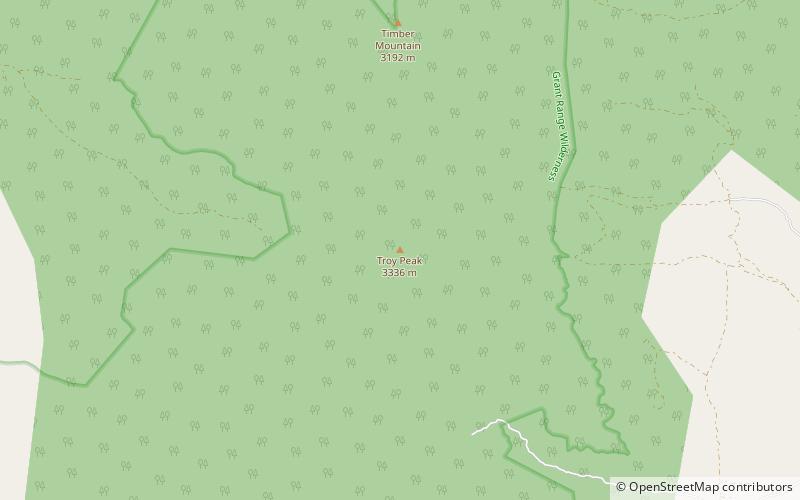
Map
Facts and practical information
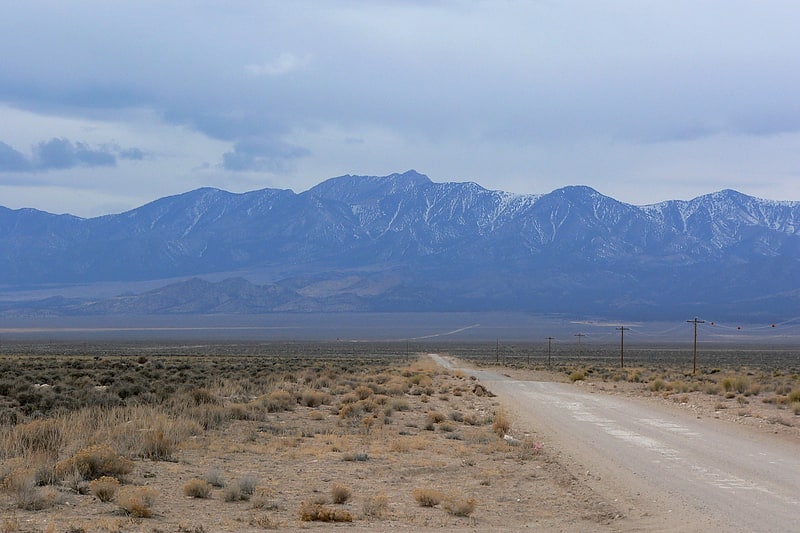
Troy Peak is the highest mountain in the Grant Range in northeastern Nye County, Nevada, United States. It is the thirty-sixth highest mountain in Nevada. Troy Peak also ranks as the third-most topographically prominent peak in Nye County and the fourteenth-most prominent peak in the state. The summit is located 72 miles southwest of the city of Ely, within the Grant Range Wilderness of the Humboldt-Toiyabe National Forest. ()
Elevation: 11302 ftProminence: 4790 ftCoordinates: 38°19'8"N, 115°30'0"W
Address
Grant Range Wilderness
ContactAdd
Social media
Add
Day trips
Troy Peak – popular in the area (distance from the attraction)
Nearby attractions include: Grant Range.
