Piers Park, Boston
Map
Gallery
Facts and practical information
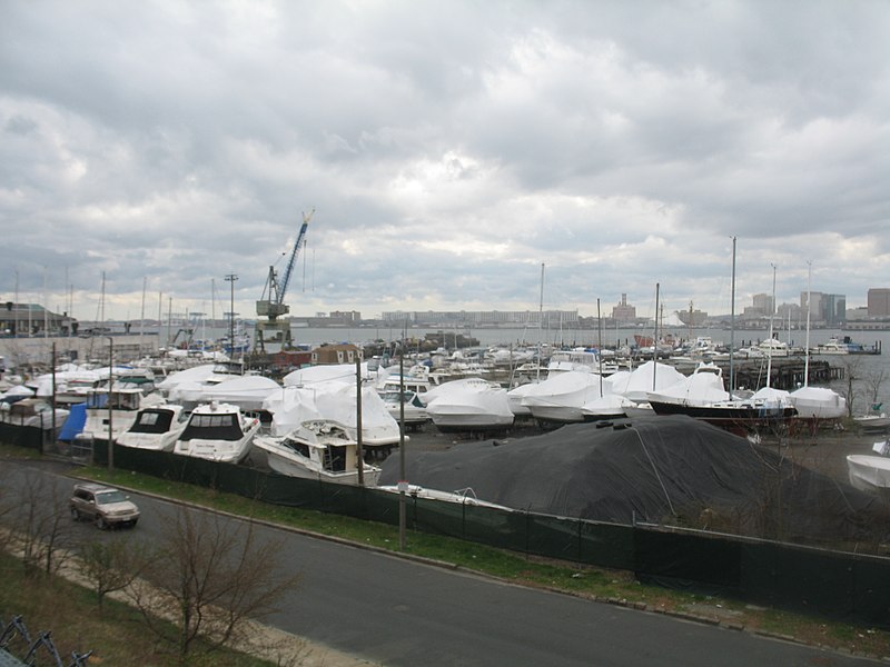
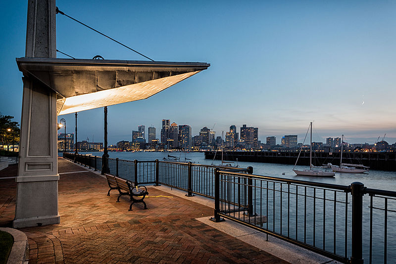
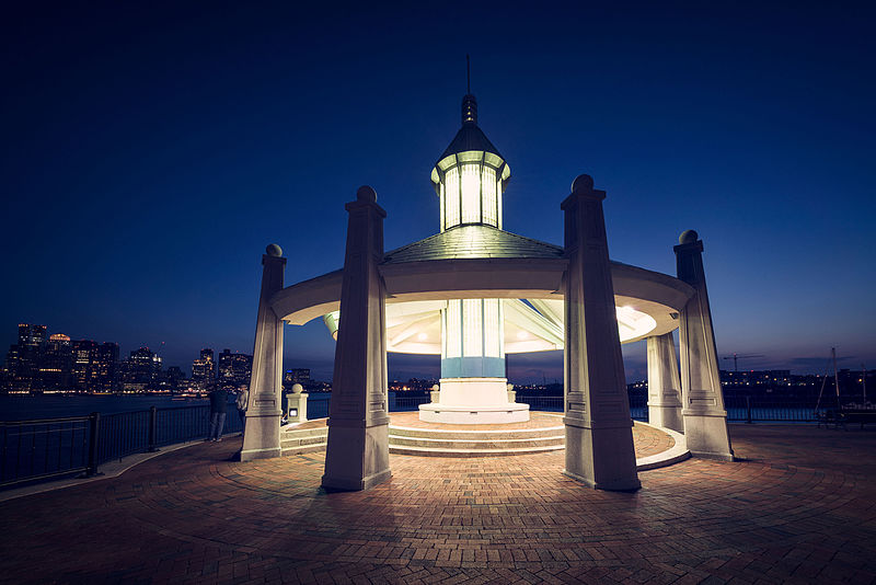
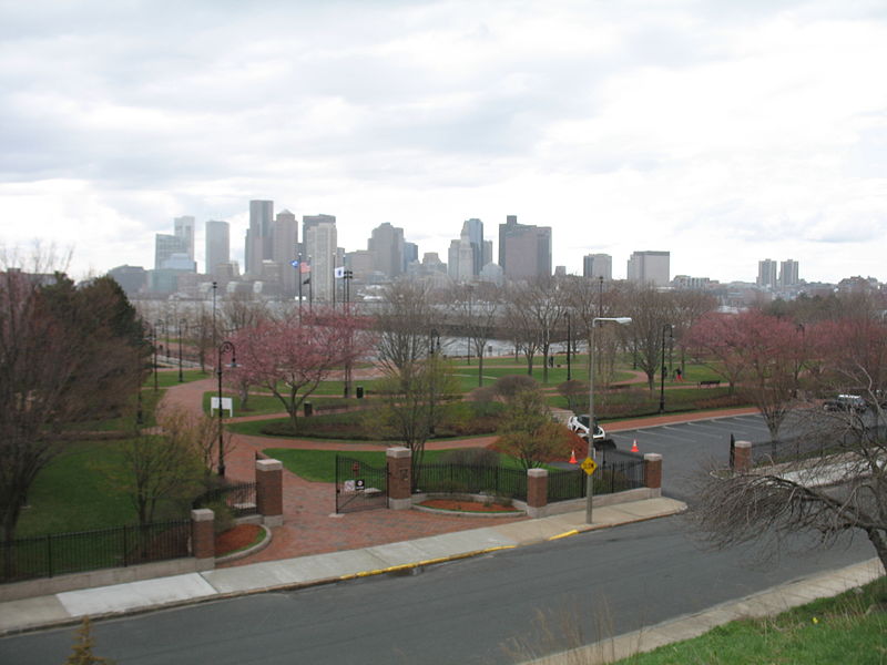
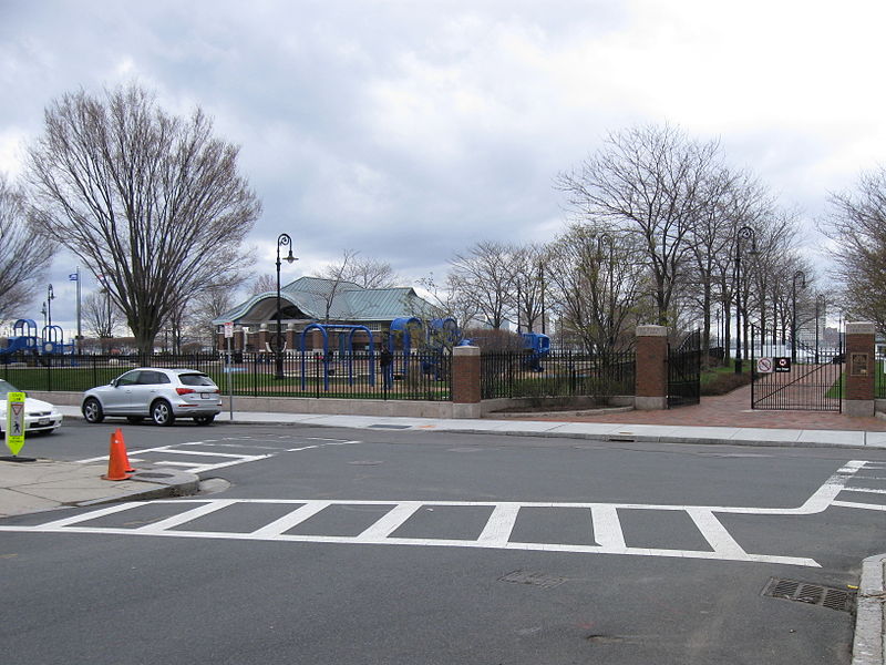
Piers Park is a public park owned by Massport located on the southwest side of East Boston, overlooking Boston Harbor and downtown Boston. Designed by Pressley Associates Landscape Architects of Boston, the 6.5-acre park was conceived to reclaim a condemned industrial pier for recreational use, allowing residents and visitors direct access to the waterfront. ()
Elevation: 13 ft a.s.l.Coordinates: 42°21'53"N, 71°2'10"W
Day trips
Piers Park – popular in the area (distance from the attraction)
Nearby attractions include: Quincy Market, Faneuil Hall, New England Aquarium, Haymarket Open-Air Market.
Frequently Asked Questions (FAQ)
Which popular attractions are close to Piers Park?
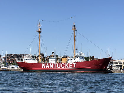
Nearby attractions include Port of Boston, Boston (2 min walk), Flynn Cruiseport Boston, Boston (2 min walk), United States lightship Nantucket, Boston (7 min walk), Maverick Square, Boston (10 min walk).
How to get to Piers Park by public transport?
The nearest stations to Piers Park:
Metro
Light rail
Bus
Train
Metro
- Maverick • Lines: Blue (9 min walk)
- Airport • Lines: Blue (19 min walk)
Light rail
- Haymarket • Lines: C, E (29 min walk)
Bus
- Federal St @ Franklin St • Lines: 504 (32 min walk)
- Summer St opp Melcher St • Lines: 7 (32 min walk)
Train
- Boston South Station (34 min walk)



 MBTA Subway


