United States lightship Nantucket, Boston
Map
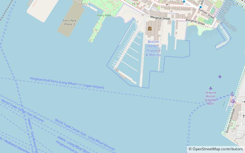
Map

Facts and practical information
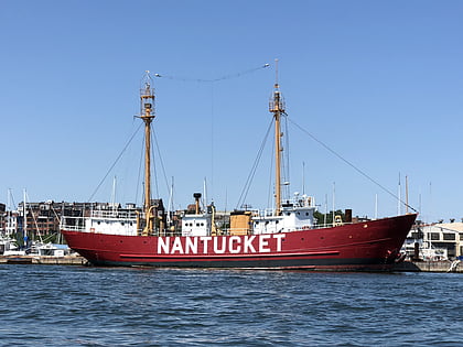
United States lightship Nantucket is a National Historic Landmark lightship that served at the Lightship Nantucket position. She was the last serving lightship and at time of its application as a landmark, one of only two capable of moving under their own power. She served as the lightship for such notable vessels as the liners United States, Queen Mary, and Normandie. ()
Address
256 Marginal StreetBoston
ContactAdd
Social media
Add
Day trips
United States lightship Nantucket – popular in the area (distance from the attraction)
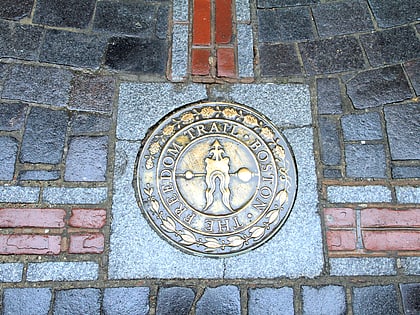
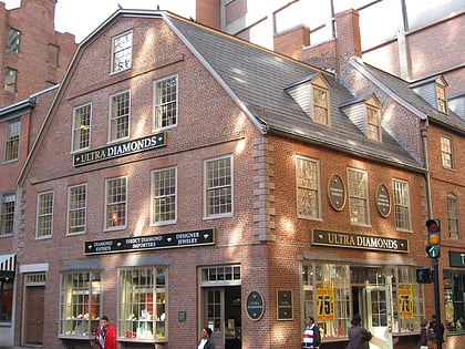
Nearby attractions include: Quincy Market, Faneuil Hall, New England Aquarium, Freedom Trail.
Frequently Asked Questions (FAQ)
Which popular attractions are close to United States lightship Nantucket?
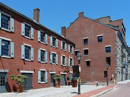
Nearby attractions include Port of Boston, Boston (5 min walk), Flynn Cruiseport Boston, Boston (5 min walk), Piers Park, Boston (7 min walk), Roseway, Boston (16 min walk).
How to get to United States lightship Nantucket by public transport?
The nearest stations to United States lightship Nantucket:
Metro
Bus
Light rail
Train
Metro
- Maverick • Lines: Blue (15 min walk)
- Aquarium • Lines: Blue (23 min walk)
Bus
- Summer St @ WTC Ave • Lines: 7 (27 min walk)
- Federal St @ Franklin St • Lines: 504 (30 min walk)
Light rail
- Haymarket • Lines: C, E (30 min walk)
Train
- Boston South Station (31 min walk)
 MBTA Subway


