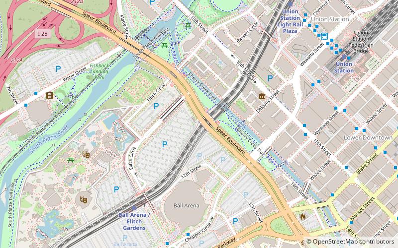
Speer Boulevard, Denver
Map

Map

Facts and practical information
Speer Boulevard, in Denver, Colorado, is a historic parkway. It runs from Irving St. in the West Highland neighborhood to Downing St. in the Country Club neighborhood, was built in 1906, and was listed on the National Register of Historic Places in 1986. ()
Coordinates: 39°45'5"N, 105°0'25"W
Day trips
Speer Boulevard – popular in the area (distance from the attraction)
Nearby attractions include: Elitch Gardens, Ball Arena, 16th Street Mall, Children's Museum of Denver.
Frequently Asked Questions (FAQ)
Which popular attractions are close to Speer Boulevard?
Nearby attractions include MCA Denver, Denver (5 min walk), Museum of Contemporary Art Denver, Denver (5 min walk), Confluence Park, Denver (5 min walk), Platte Valley Trolley, Denver (7 min walk).
How to get to Speer Boulevard by public transport?
The nearest stations to Speer Boulevard:
Bus
Light rail
Train
Bus
- 15th Street & Wynkoop Street • Lines: 19 (7 min walk)
- 16th Street Mall & Wewatta Street • Lines: Mall (8 min walk)
Light rail
- Ball Arena / Elitch Gardens • Lines: C, E, W (7 min walk)
- Union Station • Lines: C, E, W (9 min walk)
Train
- Union Station (10 min walk)


