McPartland Mountain, Glacier National Park

Gallery (1)
Map
Map
Facts and practical information
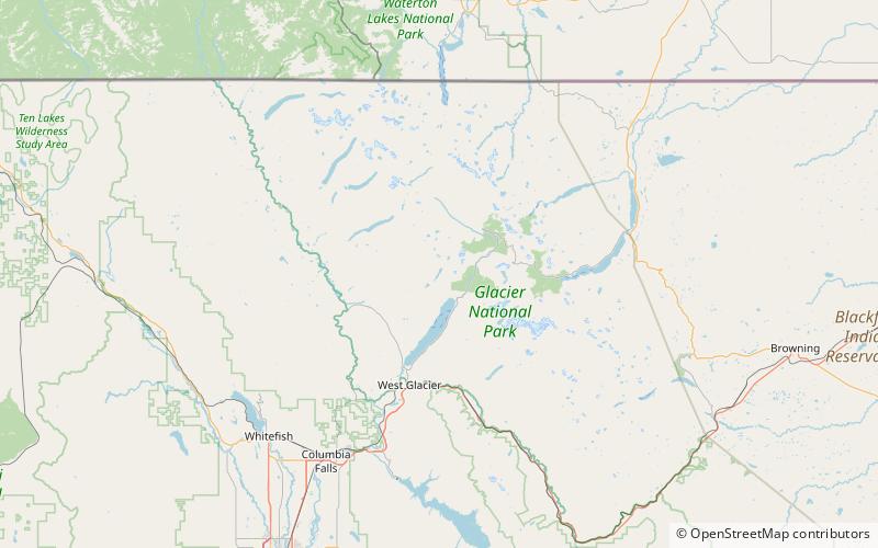
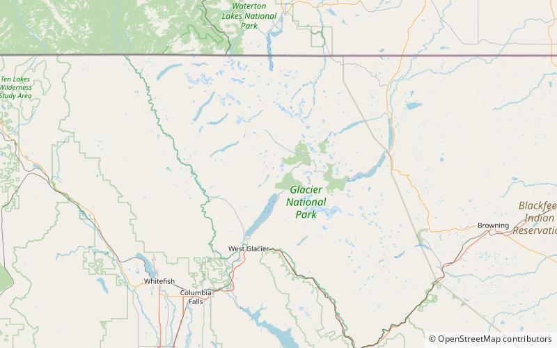
McPartland Mountain is located in the Livingston Range, Glacier National Park in the U.S. state of Montana. McPartland Mountain is a little more than a mile south of Heavens Peak. The mountain's name is believed to refer to Frank McPartland, of eastern Montana, who worked around nearby Lake McDonald for two seasons, and drowned in a boating accident on the lake in the 1890s. ()
Elevation: 8417 ftProminence: 333 ftCoordinates: 48°41'26"N, 113°51'50"W
Address
Glacier National Park
ContactAdd
Social media
Add
Day trips