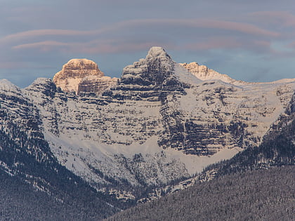
Edwards Mountain, Glacier National Park
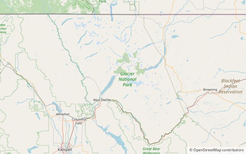
Map
Map

Facts and practical information
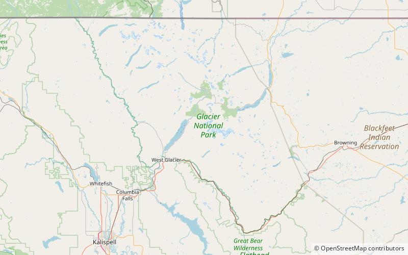
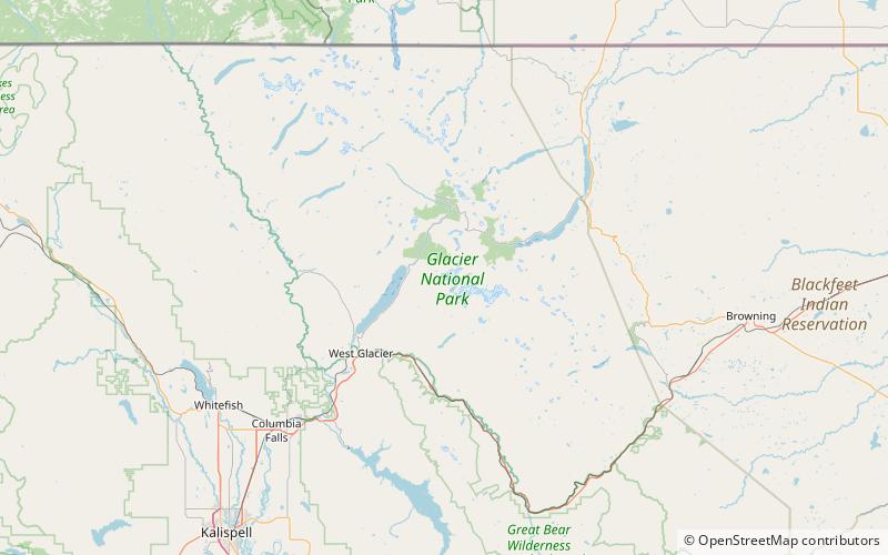
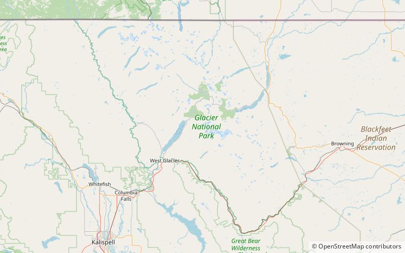
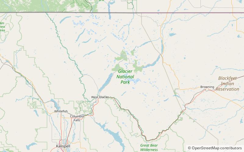
Edwards Mountain is located in the Lewis Range, Glacier National Park in the U.S. state of Montana. Edwards Mountain rises just to the west of Sperry Glacier. Based on the Köppen climate classification, Edwards Mountain has an alpine climate characterized by long, usually very cold winters, and short, cool to mild summers. Temperatures can drop below −10 °F with wind chill factors below −30 °F. ()
Elevation: 9076 ftProminence: 1072 ftCoordinates: 48°37'22"N, 113°47'10"W
Day trips
Edwards Mountain – popular in the area (distance from the attraction)
Nearby attractions include: Sperry Glacier, Little Matterhorn, Upper Snyder Lake, Snyder Lake.
Frequently Asked Questions (FAQ)
Which popular attractions are close to Edwards Mountain?
Nearby attractions include Akaiyan Lake, Glacier National Park (13 min walk), Feather Woman Lake, Glacier National Park (14 min walk), Gem Lake, Glacier National Park (15 min walk), Akaiyan Falls, West Glacier (16 min walk).


