Kelley Square, Worcester
Map

Map

Facts and practical information
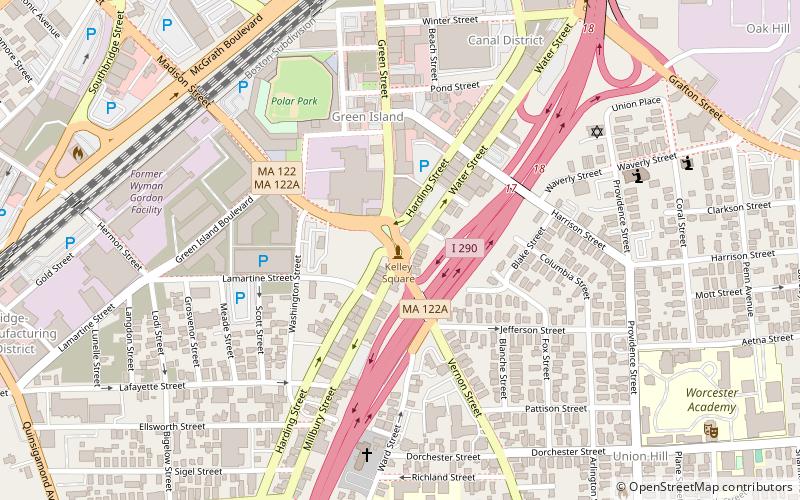
Kelley Square is a square located in Worcester, Massachusetts, at the intersection of Massachusetts Route 122 and 122A, with ramp access to and from Interstate 290. It is named for Sgt. Cornelius F. Kelley, who died of wounds received in battle in Verdun, France, on October 13, 1918. With a complex convergence of multiple roads, the square has previously been ranked as the state's most dangerous intersection, and as of 2019 was ranked as the eighth-most dangerous intersection in Massachusetts. ()
Coordinates: 42°15'18"N, 71°47'52"W
Day trips
Kelley Square – popular in the area (distance from the attraction)
Nearby attractions include: DCU Center, Armsby Abbey, Worcester City Hall and Common, Burnside Fountain.
Frequently Asked Questions (FAQ)
Which popular attractions are close to Kelley Square?
Nearby attractions include Crompton Collective, Worcester (3 min walk), Goldberg Building, Worcester (4 min walk), Our Lady of Czestochowa Parish, Worcester (7 min walk), Shaarai Torah Synagogue, Worcester (7 min walk).
How to get to Kelley Square by public transport?
The nearest stations to Kelley Square:
Bus
Train
Bus
- WRTA Transportation Hub (11 min walk)
- Worcester Bus Station (12 min walk)
Train
- Worcester (12 min walk)


