Port of Apalachicola, Saint George

Map
Facts and practical information
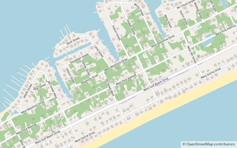
The Port of Apalachicola is a historic Gulf Coast port located on St. George Island in Franklin County, Florida. The Port of Apalachicola lies at the mouth of the Apalachicola River off Apalachicola Bay on the Intracoastal Waterway. ()
Coordinates: 29°39'32"N, 84°52'40"W
Address
Saint George
ContactAdd
Social media
Add
Day trips
Port of Apalachicola – popular in the area (distance from the attraction)
Nearby attractions include: John Gorrie Memorial Bridge, Sea Oats Art Gallery, St. George Island Bridge.


