St. George Island Bridge, Apalachicola Bay
Map

Map

Facts and practical information
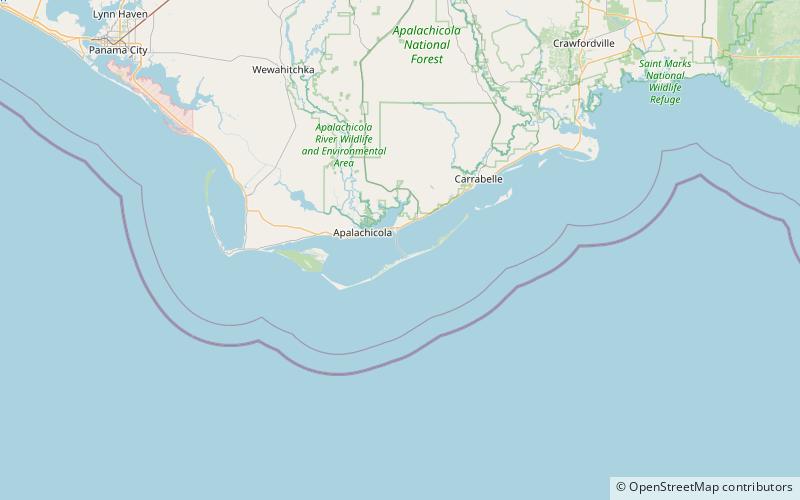
The 4 mile St. George Island Bridge was built in 2002 when the two original bridges that led to St. George Island, a small resort community 10 miles from Apalachicola, Florida, were deemed unsafe due to their old age. The original bridges opened in 1965; prior to that, visitors used a ferry to get to the island. The new bridge, by bypassing the middle island, became the 3rd-longest bridge in Florida. The north end of SR 300 is at US 98 in Eastpoint. It was opened on February 27, 2004. ()
Length: 4.1 miCoordinates: 29°41'2"N, 84°52'50"W
Address
Apalachicola Bay
ContactAdd
Social media
Add
Day trips
St. George Island Bridge – popular in the area (distance from the attraction)
Nearby attractions include: John Gorrie Memorial Bridge, Port of Apalachicola, Sea Oats Art Gallery.


