Rhode Island Historical Society, Providence
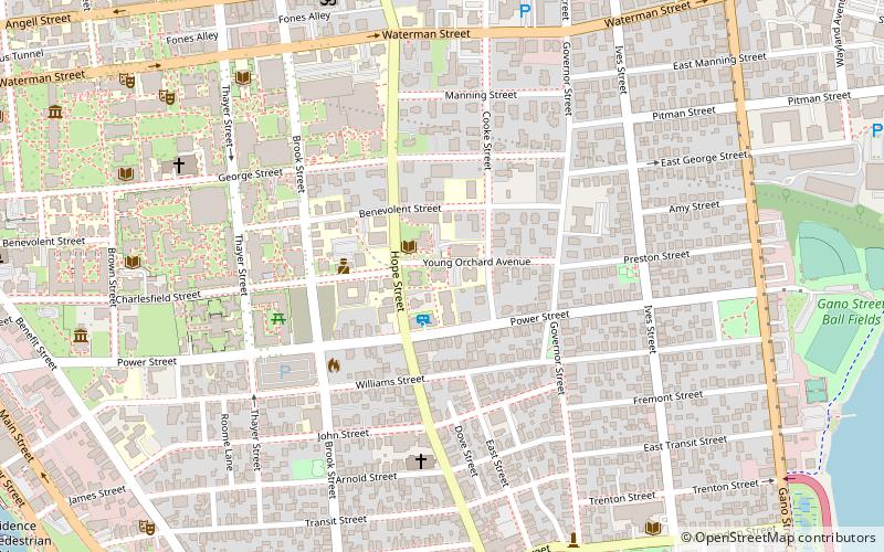
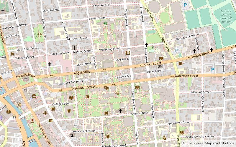
Map
Facts and practical information
The Rhode Island Historical Society is a privately endowed membership organization, founded in 1822, dedicated to collecting, preserving, and sharing the history of Rhode Island. Its offices are located in Providence, Rhode Island. ()
Coordinates: 41°49'27"N, 71°23'47"W
Getting there by public transportation
Public transportation stops near this location
- Bus
- Train
 Bus
Bus
- Calculate routeDorrance and Pine 19 min walk
- Calculate routeKennedy Plaza Intermodal Transportation Center 21 min walk
- Calculate routeKennedy Plaza Stop Y 21 min walk
- Calculate routeKennedy Plaza Stop V 22 min walk
- Calculate routeProvidence 24 min walk
Day trips


Frequently Asked Questions (FAQ)
Which popular attractions are close to Rhode Island Historical Society?
Nearby attractions include Nelson W. Aldrich House, Providence (3 min walk), Power Street–Cooke Street Historic District, Providence (4 min walk), Hope–Power–Cooke Streets Historic District, Providence (5 min walk), Fox Point, Providence (6 min walk).
How to get to Rhode Island Historical Society by public transport?
The nearest stations to Rhode Island Historical Society:
Bus
Train
Bus
- Dorrance and Pine • Lines: 1, 3, 3A, 3B, 62 (19 min walk)
- Kennedy Plaza Intermodal Transportation Center (21 min walk)
Train
- Providence (24 min walk)