Winthrop Beach, Boston
Map

Map

Facts and practical information
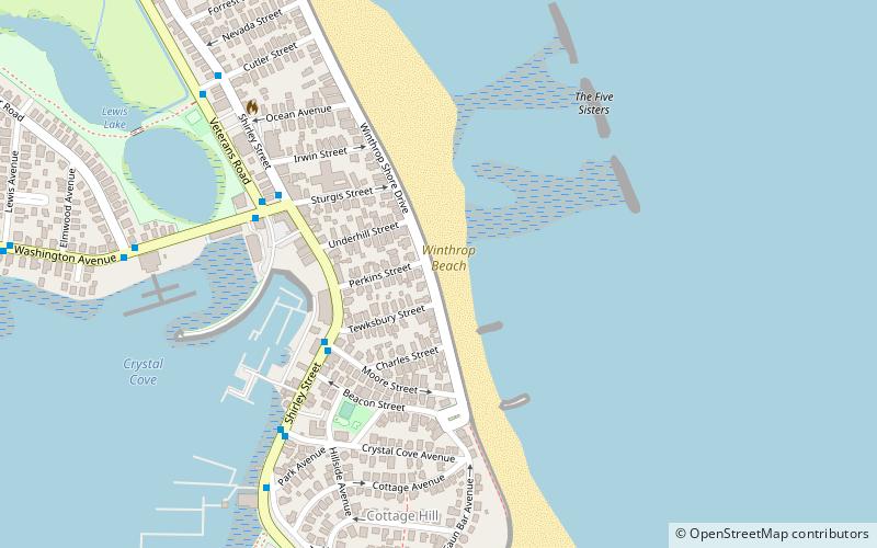
Winthrop Beach is the main beach of Winthrop, Massachusetts. It is located along Winthrop Shore Drive, spanning the roadway. The beach begins off Crest Avenue at an area known as the "Green Bars", named for the green railings along the seawall. The beach ends at the base of Water Tower Hill. The ocean has five wave breakers known as the "Five Sisters" offshore to protect nearby neighborhoods from the large swells that occur during storms. ()
Established: 1900 (126 years ago)Coordinates: 42°22'18"N, 70°58'6"W
Day trips
Winthrop Beach – popular in the area (distance from the attraction)
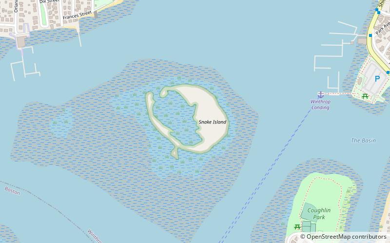
Nearby attractions include: Fort Banks, Winthrop, Winthrop Center/Metcalf Square Historic District, Snake Island.
Frequently Asked Questions (FAQ)
Which popular attractions are close to Winthrop Beach?
Nearby attractions include Winthrop Shore Drive, Nahant (3 min walk), Snake Island, Boston (18 min walk), Winthrop, Boston (21 min walk), Winthrop Center/Metcalf Square Historic District, Nahant (24 min walk).

 MBTA Subway


