Fort Banks, Boston
Map
Gallery
Facts and practical information
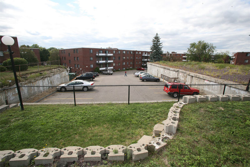
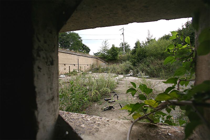
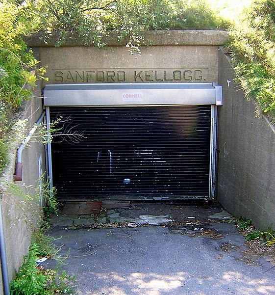
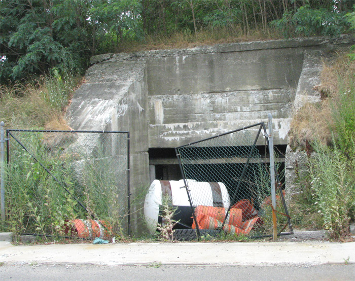
Fort Banks was a U.S. Coast Artillery fort located in Winthrop, Massachusetts. It served to defend Boston Harbor from enemy attack from the sea and was built in the 1809 during what is known as the Endicott period, a time in which the coast defenses of the United States were seriously expanded and upgraded with new technology. Today, the fort's mortar battery is on the National Register of Historic Places. ()
Built: 1890 (136 years ago)Coordinates: 42°23'3"N, 70°58'49"W
Address
Winthrop (Downtown Winthrop)Boston
ContactAdd
Social media
Add
Day trips
Fort Banks – popular in the area (distance from the attraction)
Nearby attractions include: Winthrop, Mary T. Ronan School, Winthrop Center/Metcalf Square Historic District, Winthrop Parkway.
Frequently Asked Questions (FAQ)
Which popular attractions are close to Fort Banks?
Nearby attractions include Winthrop Parkway, Boston (13 min walk), Winthrop Center/Metcalf Square Historic District, Nahant (14 min walk), Winthrop, Boston (17 min walk), Mary T. Ronan School, Nahant (23 min walk).
How to get to Fort Banks by public transport?
The nearest stations to Fort Banks:
Metro
Metro
- Suffolk Downs • Lines: Blue (25 min walk)





 MBTA Subway


