Boyle Heights, Los Angeles

Gallery (2)
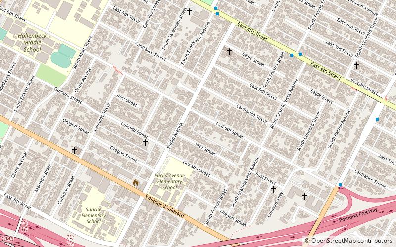
Map
Map
Gallery
Facts and practical information
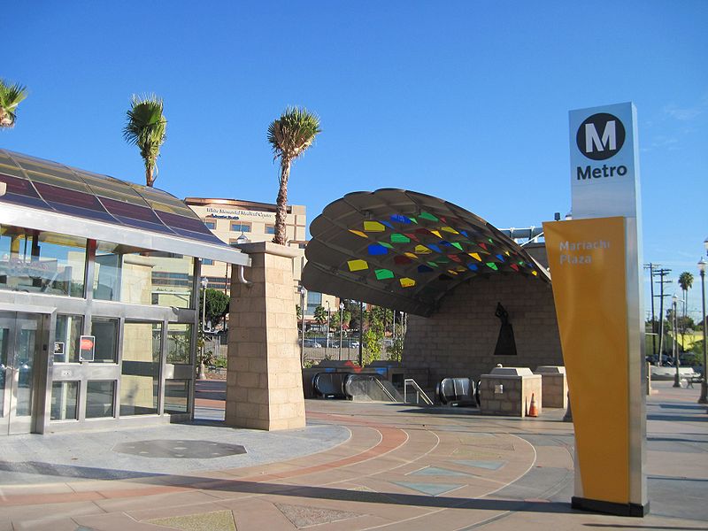
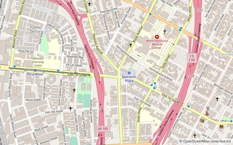
Boyle Heights, historically known as Paredón Blanco, is a neighborhood in Los Angeles, California, located east of the Los Angeles River. It is one of the city's most notable and historic Chicano/Mexican-American communities and is known as a bastion of Chicano culture, hosting cultural landmarks like Mariachi Plaza and events like the annual Día de los Muertos celebrations. ()
Address
Eastside Los Angeles (Boyle Heights)Los Angeles
ContactAdd
Social media
Add
Getting there by public transportation
Public transportation stops near this location
- Bus
- Light rail
 Bus
Bus
- Calculate routeMetro 605 12 min walk
- Calculate routeIndiana 19 min walk
- Calculate routeSoto 21 min walk
- Calculate routeMariachi Plaza 33 min walk
Maps Metro & Regional Rail
Metro & Regional RailDay trips


Frequently Asked Questions (FAQ)
Which popular attractions are close to Boyle Heights?
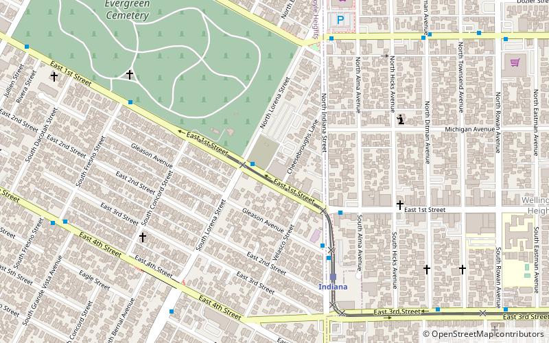
Nearby attractions include Robert Louis Stevenson Branch Library, Los Angeles (15 min walk), Evergreen Cemetery, Los Angeles (17 min walk), Odd Fellows Cemetery, Los Angeles (22 min walk), Hollenbeck Park, Los Angeles (23 min walk).
How to get to Boyle Heights by public transport?
The nearest stations to Boyle Heights:
Bus
Light rail
Bus
- Metro 605 • Lines: 605 (12 min walk)
Light rail
- Indiana • Lines: L (19 min walk)
- Soto • Lines: L (21 min walk)