Haymarket Square, Boston
Map
Gallery
Facts and practical information
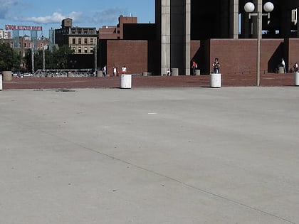
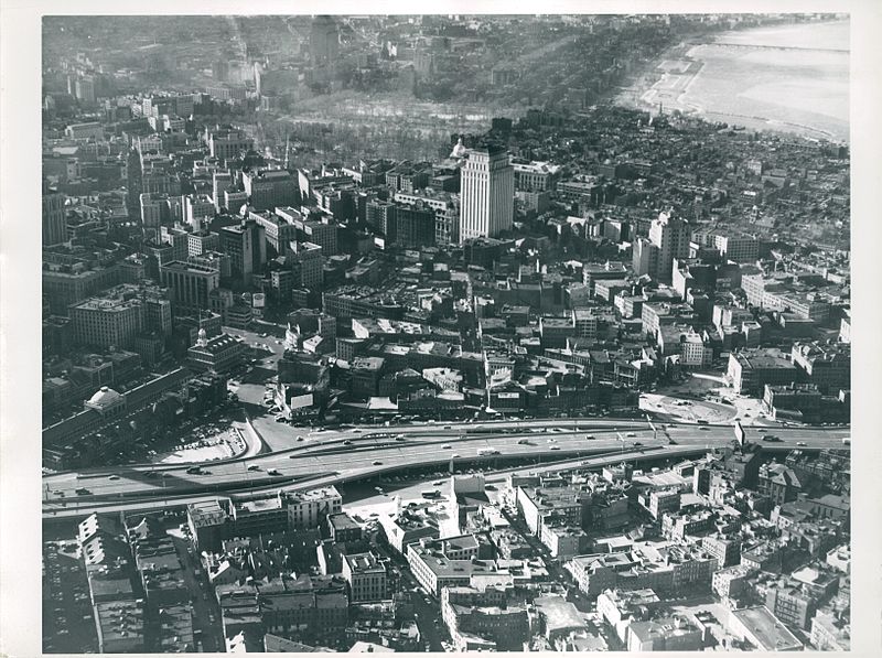
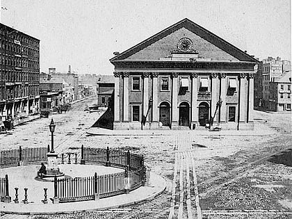
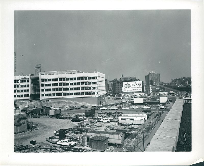
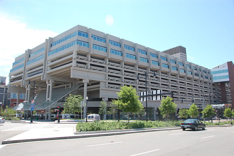
Haymarket Square is the historic name of a former town square in Boston, located between the North End, Government Center, the Bulfinch Triangle, and the West End. The square was a well-known feature of Boston from the mid-19th century to the mid-20th century, when the buildings around it were demolished to make way for the Central Artery and Government Center. The Haymarket produce market continues to operate at a location near the historic site of the square. The Haymarket MBTA station extends under the former site of the square. ()
Coordinates: 42°21'50"N, 71°3'27"W
Day trips
Haymarket Square – popular in the area (distance from the attraction)
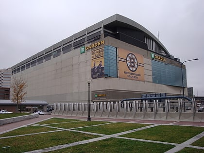
Nearby attractions include: Quincy Market, Faneuil Hall, TD Garden, Haymarket Open-Air Market.
Frequently Asked Questions (FAQ)
Which popular attractions are close to Haymarket Square?
Nearby attractions include Boston Stone, Boston (4 min walk), North End Parks, Boston (4 min walk), Bulfinch Triangle Historic District, Boston (5 min walk), John F. Kennedy Federal Building, Boston (5 min walk).
How to get to Haymarket Square by public transport?
The nearest stations to Haymarket Square:
Light rail
Metro
Train
Bus
Light rail
- Haymarket • Lines: C, E (4 min walk)
- North Station • Lines: C, E (5 min walk)
Metro
- Haymarket • Lines: Orange (4 min walk)
- North Station • Lines: Orange (5 min walk)
Train
- Boston North Station (8 min walk)
- Boston South Station (23 min walk)
Bus
- Federal St @ Franklin St • Lines: 504 (16 min walk)
- Tremont St opp Temple Pl • Lines: 55 (16 min walk)


 MBTA Subway

