City Hall Plaza, Boston

Gallery (11)
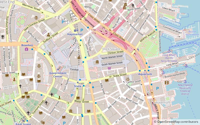
Map


Map

Gallery
Facts and practical information
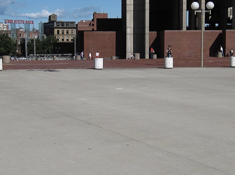
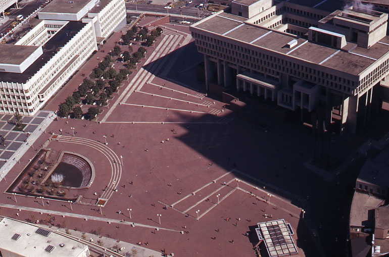
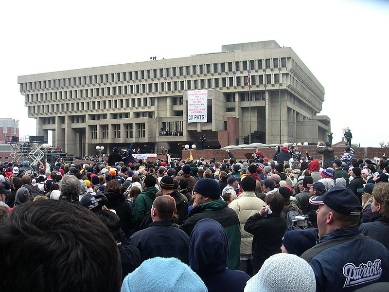
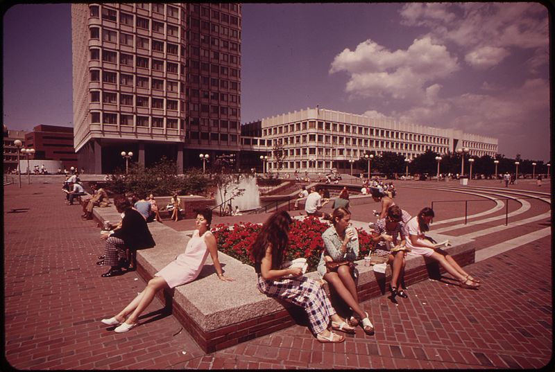
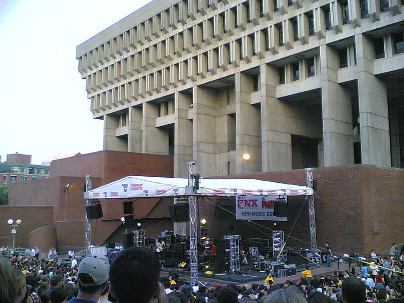
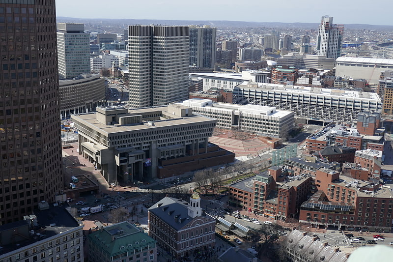
City Hall Plaza in Boston, Massachusetts, is a large, open, public space in the Government Center area of the city. The architectural firm Kallmann McKinnell & Knowles designed the plaza in 1962 to accompany Boston's new City Hall building. The multi-level, irregularly shaped plaza consists of red brick and concrete. The Government Center MBTA station is located beneath the plaza; its entrance is at the southwest corner of the plaza. ()
Coordinates: 42°21'38"N, 71°3'33"W
Getting there by public transportation
Public transportation stops near this location
- Metro
- Bus
- Light rail
- Train
 Metro
Metro
- Calculate routeGovernment Center 2 min walk
- Calculate routeHaymarket 4 min walk
- Calculate routeBowdoin 4 min walk
- Calculate routeState 5 min walk
- Calculate routeGovernment Center 2 min walk
- Calculate routeHaymarket 4 min walk
- Calculate routeNorth Station 9 min walk
- Calculate routePark Street 9 min walk
- Calculate routeTremont St opp Temple Pl 10 min walk
- Calculate routeFederal St @ Franklin St 10 min walk
- Calculate routeOtis St @ Summer St 12 min walk
- Calculate routeBoston North Station 11 min walk
- Calculate routeBoston South Station 17 min walk
- Calculate routeBoston Back Bay 32 min walk
Maps MBTA Subway
MBTA SubwayDay trips


Frequently Asked Questions (FAQ)
Which popular attractions are close to City Hall Plaza?
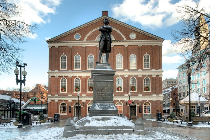
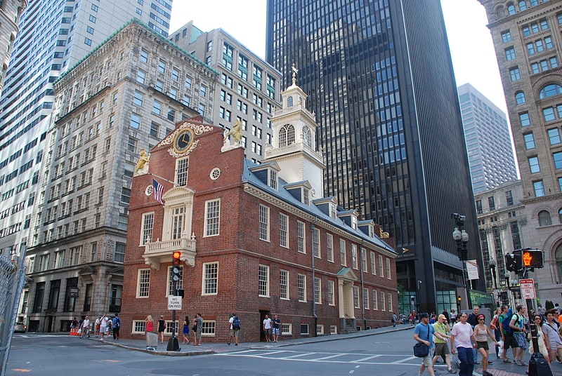
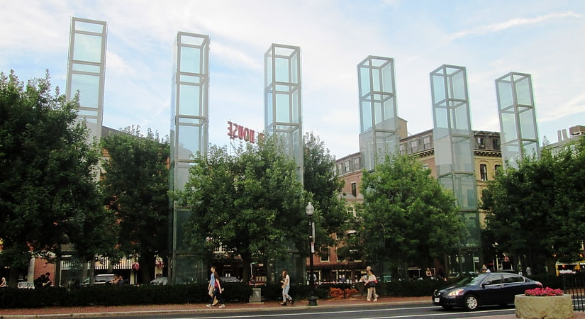
Nearby attractions include Government Center, Boston (2 min walk), Boston City Hall, Boston (2 min walk), John F. Kennedy Federal Building, Boston (3 min walk), New England Holocaust Memorial, Boston (3 min walk).
How to get to City Hall Plaza by public transport?
The nearest stations to City Hall Plaza:
Metro
Light rail
Bus
Train
Metro
- Government Center • Lines: Blue (2 min walk)
- Haymarket • Lines: Orange (4 min walk)
Light rail
- Government Center • Lines: C, D, E (2 min walk)
- Haymarket • Lines: C, E (4 min walk)
Bus
- Tremont St opp Temple Pl • Lines: 55 (10 min walk)
- Federal St @ Franklin St • Lines: 504 (10 min walk)
Train
- Boston North Station (11 min walk)
- Boston South Station (17 min walk)