Merrimack Canal, Lowell
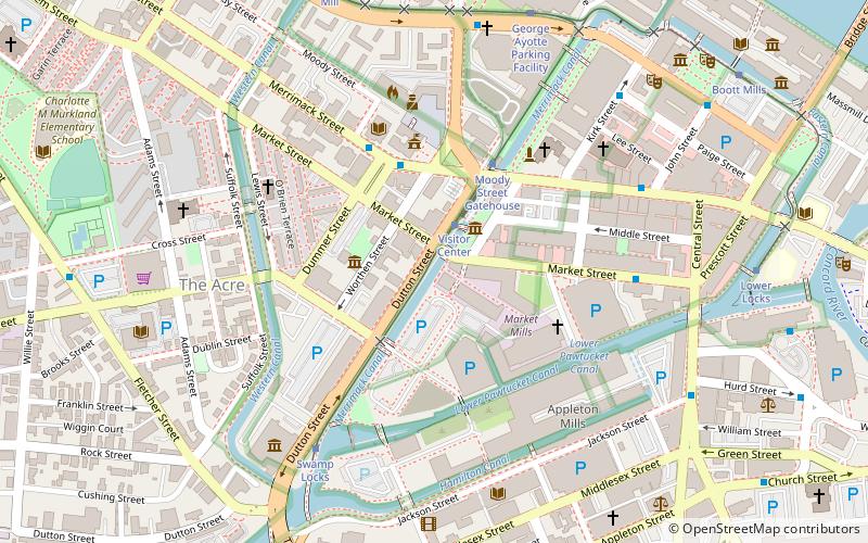
Map
Facts and practical information
The Merrimack Canal is a power canal in Lowell, Massachusetts. The canal, dug in the 1820s, begins at the Pawtucket Canal just above Swamp Locks, and empties into the Merrimack River near the Boott Cotton Mills. The Merrimack Canal was the first major canal to be dug at Lowell exclusively for power purposes, and delivered 32 feet of hydraulic head to the mills of the Merrimack Manufacturing Company. The Merrimack Manufacturing Company was the first of the major textile mills constructed in Lowell. It was demolished around 1960. ()
Coordinates: 42°38'40"N, 71°18'49"W
Address
Lowell (Downtown Lowell)Lowell
ContactAdd
Social media
Add
Getting there by public transportation
Public transportation stops near this location
- Bus
- Tram
- Train
 Bus
Bus
- Calculate routeVisitor Center 2 min walk
- Calculate routeMoody Street Gatehouse 4 min walk
- Calculate routeSwamp Locks 6 min walk
- Calculate routeGeorge Ayotte Parking Facility 8 min walk
- Calculate routeMerrimack St and Dutton St 3 min walk
- Calculate routeLowell City Hall Merrimack St 3 min walk
- Calculate routePollard Memorial Library 4 min walk
- Calculate routeDowntown 5 min walk
- Calculate routeLowell 15 min walk
Day trips


Frequently Asked Questions (FAQ)
Which popular attractions are close to Merrimack Canal?
Nearby attractions include Arts League of Lowell - ALL, Lowell (2 min walk), National Streetcar Museum, Lowell (2 min walk), Whistler House Museum of Art, Lowell (3 min walk), New England Quilt Museum, Lowell (3 min walk).
How to get to Merrimack Canal by public transport?
The nearest stations to Merrimack Canal:
Tram
Bus
Train
Tram
- Visitor Center • Lines: Lowell National Park Trolley (2 min walk)
- Moody Street Gatehouse • Lines: Lowell National Park Trolley (4 min walk)
Bus
- Merrimack St and Dutton St • Lines: 6 (3 min walk)
- Lowell City Hall Merrimack St • Lines: 6, 7 (3 min walk)
Train
- Lowell (15 min walk)