Cherokee Park, Louisville
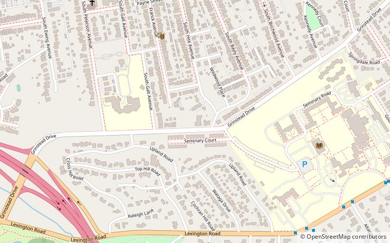
Map

Gallery

Facts and practical information
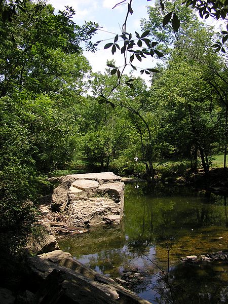
Cherokee Park is a 409-acre municipal park located in Louisville, Kentucky, United States and is part of the Louisville Olmsted Parks Conservancy. It was designed in 1891 by Frederick Law Olmsted, the father of landscape architecture along with 18 of Louisville's 123 parks. Beargrass Creek runs through much of the park, and is crossed by numerous pedestrian and automobile bridges. ()
Created: 1891Elevation: 492 ft a.s.l.Coordinates: 38°14'19"N, 85°41'42"W
Day trips
Cherokee Park – popular in the area (distance from the attraction)
Nearby attractions include: Mid-City Mall, Keneseth Israel, Cave Hill Cemetery, John B. Castleman Monument.
Frequently Asked Questions (FAQ)
Which popular attractions are close to Cherokee Park?
Nearby attractions include Hogan's Fountain Pavilion, Louisville (3 min walk), Bonnycastle, Louisville (12 min walk), Cherokee-Seneca, Louisville (15 min walk), Rose Hill, Louisville (19 min walk).
How to get to Cherokee Park by public transport?
The nearest stations to Cherokee Park:
Bus
Bus
- Cherokee / Alta • Lines: 29East Oxmoor, 29West Oxmoor (5 min walk)


