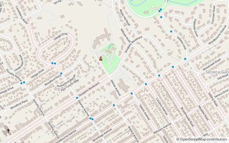
Shawnee Park, Louisville
Map
Gallery
Facts and practical information
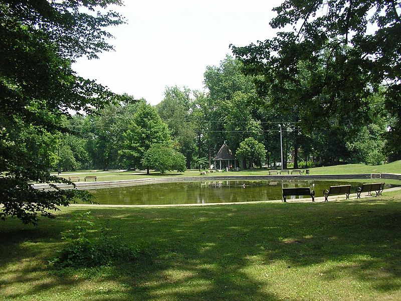
Shawnee Park is a municipal park in Louisville, Kentucky. It was designed by Frederick Law Olmsted, who designed 18 of the city's 123 public parks. Along with the rest of the city's Olmsted-designed park system, Shawnee Park was added to the National Register of Historic Places in 1982. ()
Created: 1892Elevation: 486 ft a.s.l.Coordinates: 38°14'11"N, 85°40'27"W
Address
East Louisville (Rockcreek Lexington Road)Louisville
ContactAdd
Social media
Add
Day trips
Shawnee Park – popular in the area (distance from the attraction)
Nearby attractions include: Keneseth Israel, Cherokee Park, Hogan's Fountain Pavilion, Whitehall House & Gardens.
Frequently Asked Questions (FAQ)
Which popular attractions are close to Shawnee Park?
Nearby attractions include Seneca Park, Louisville (8 min walk), Cherokee-Seneca, Louisville (15 min walk), Rockcreek-Lexington Road, Louisville (16 min walk), Cherokee Gardens, Louisville (17 min walk).
How to get to Shawnee Park by public transport?
The nearest stations to Shawnee Park:
Bus
Bus
- Alta Vista / Red Fox • Lines: 29East Oxmoor (10 min walk)
- Alta Vista / Rostrevor • Lines: 29East Oxmoor, 29West Oxmoor (11 min walk)


