Mitchell Falls, Black Mountain
Map

Map

Facts and practical information
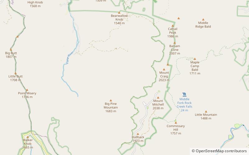
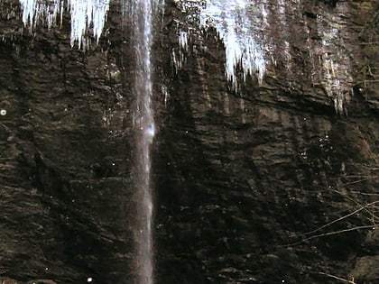
Mitchell Falls is a 25-foot waterfall located in Yancey County, North Carolina on the slope of Mount Mitchell, the highest mountain in the Appalachian Mountain chain and highest point in the eastern United States. The falls, the mountain and its related state park are named for Elisha Mitchell, a professor who, while confirming his measurements of the mountain, fell over a rocky ledge above the falls to his death on June 27, 1857. ()
Height: 25 ftCoordinates: 35°46'26"N, 82°17'1"W
Day trips
Mitchell Falls – popular in the area (distance from the attraction)
Nearby attractions include: Blue Ridge Mountains, Great Craggy Mountains, Roaring Fork Falls, Celo Knob.


